We started on our slightly over 2hours journey from Nagano where the tour bus took us to Ogizawa which is 1483m in elevation. There we boarded the an electric bus operated by Kansai Electric Power Company that ferried us to Kurobe Dam travelling about 6.1km through Kanden Tunnel cutting through Mt Akazawa-dake.
It took about 15mins to walk on the promenade of the dam and our guide gave us time to admire the view and to also take as many photos as we like for memories sake. Kurobe Dam is Japan’s tallest dam standing at elevation of 186m above sea level. It took 7 years to construct and it was finally completed in 1963.
Many difficulties were encountered in the construction of the dam and over 170 people lost their lives as a result. It is possible to walk down to the lower reaches of the dam via these stairs seen here if you and you will get a closer look of the Kurobe Lake on the other side. And if you feel energetic, why not climb 15mins up to the observation deck right on top of this concrete slope for a complete view of the dam and lake.
The arched Kurobe Dam supports a hydropower station that generates electrical supply to the Kansai Region. It is also an attraction along the Tateyama Kurobe Alpine Route especially when the gates are opened and the gushing waters are discharged in a spectacular torrent from late June to mid October. Another way to enjoy your visit is to take the 30mins pleasure boat Garube that cruises around the 11.5km lake.
Kurobe Dam is about one third into the Alpine Route when coming from the Nagano side. This gigantic manmade reservoir holds about 200million tons of water and the lake’s surface elevation is about 1470m. The view of the emerald waters and the reflection of the Tateyama mountain range seen from the 186m high embankment of Kurobe Dam is nothing short of majestic.
You can see how steep the incline of the Kurobe Cable Car is and the huge numbers of visitors patiently waiting for their turn to board. It really helps to join a tour where we do not have the hassle of purchasing tickets for each segment of the route and having to contend with the throngs of people in that smallish confined space.
If you are lucky enough to secure a seat that is sweet; otherwise do find a safe spot and really hang on to the hand rails and keep your balance steady.
It is a 5min ride on the cable car and this is literally the tunnel vision you will witness.
Next we boarded the Tateyama Ropeway which took 7mins to bring us from Kurobedaira to Daikanbo standing at the elevation of 2316m above sea level. This unique ropeway is the only one in all of Japan that does not have pylons along its span. It is gives an unhindered panoramic view of the beautiful surrounding mountains.
Enjoying the amazing view from the Observation deck at Daikanbo. Snow capped mountains in the Tateyama range which is part of the Northern Japan Alps, clear blue skies and the emerald green Kurobe reservoir.
The Daikanbo Observation deck 2316m above sea level.
The final leg of the journey was on the Tateyama Tunnel Trolley Bus which covered a distance of 3.7km in about 10mins cutting through Mt Tateyama 3015m and we alighted at Murodo.
A shovelling tractor to move and flatten the snow surface.
This menacing looking snow plow is used to cut through the harden snow so that the road can be cleared for the Highland buses coming from Bijodaira and Midagahara to pass through, coming from the direction of Tateyama itself.
So there are actually two approaches up the Tateyama Kurobe Alpine Route with the final stop at Murodo. One from Tateyama station and the other from Nagano Station.
Even the snow walls are not spared from graffiti!
Here we spent about an hour and a half walking along the road in a cordoned off area to view the giant snowdrifts that can be as high as 20m.
The exhilaration and a touch of the frosty snow just affirms that I have been privileged to see the “Roof of Japan” non virtually.

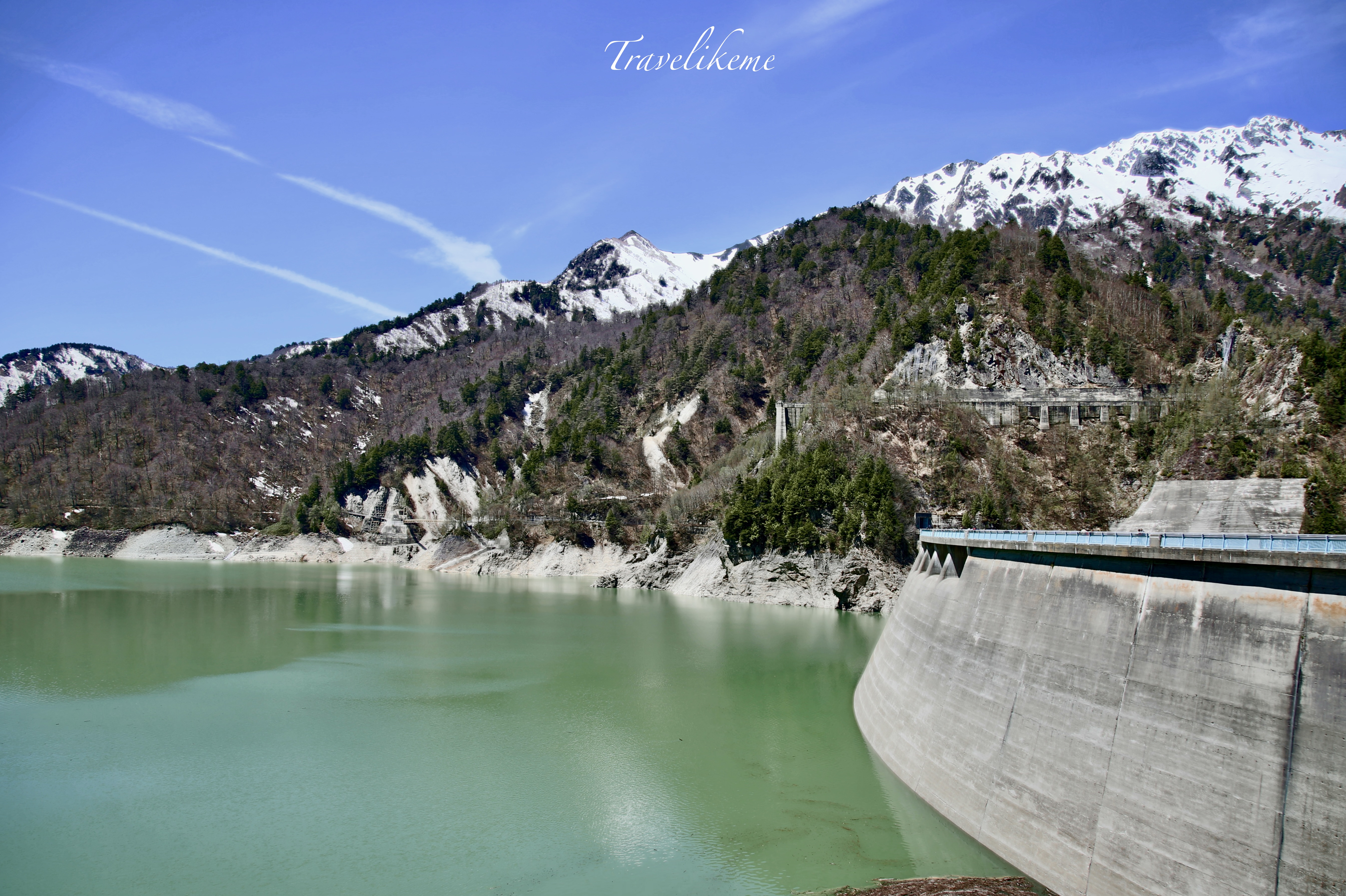
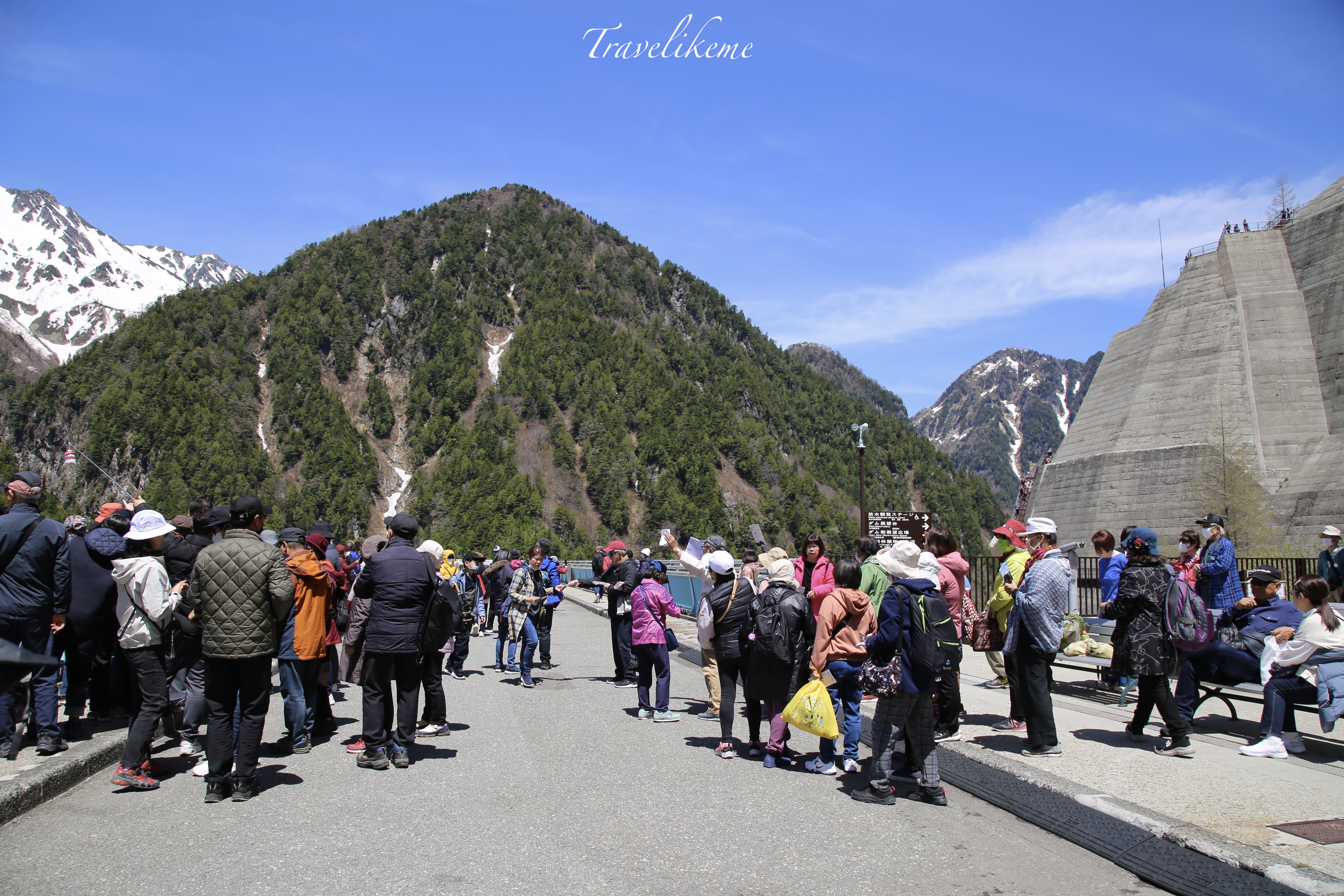
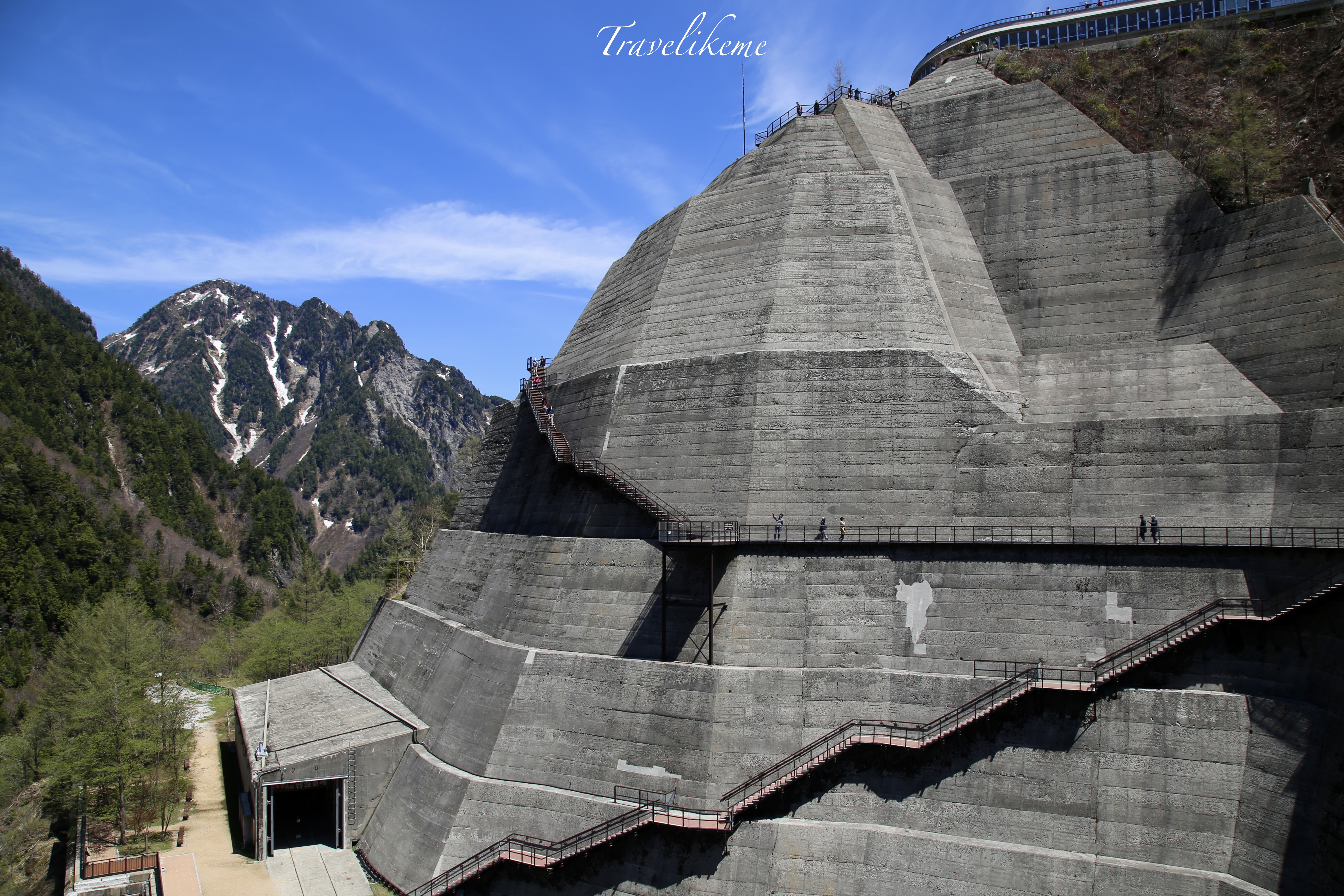
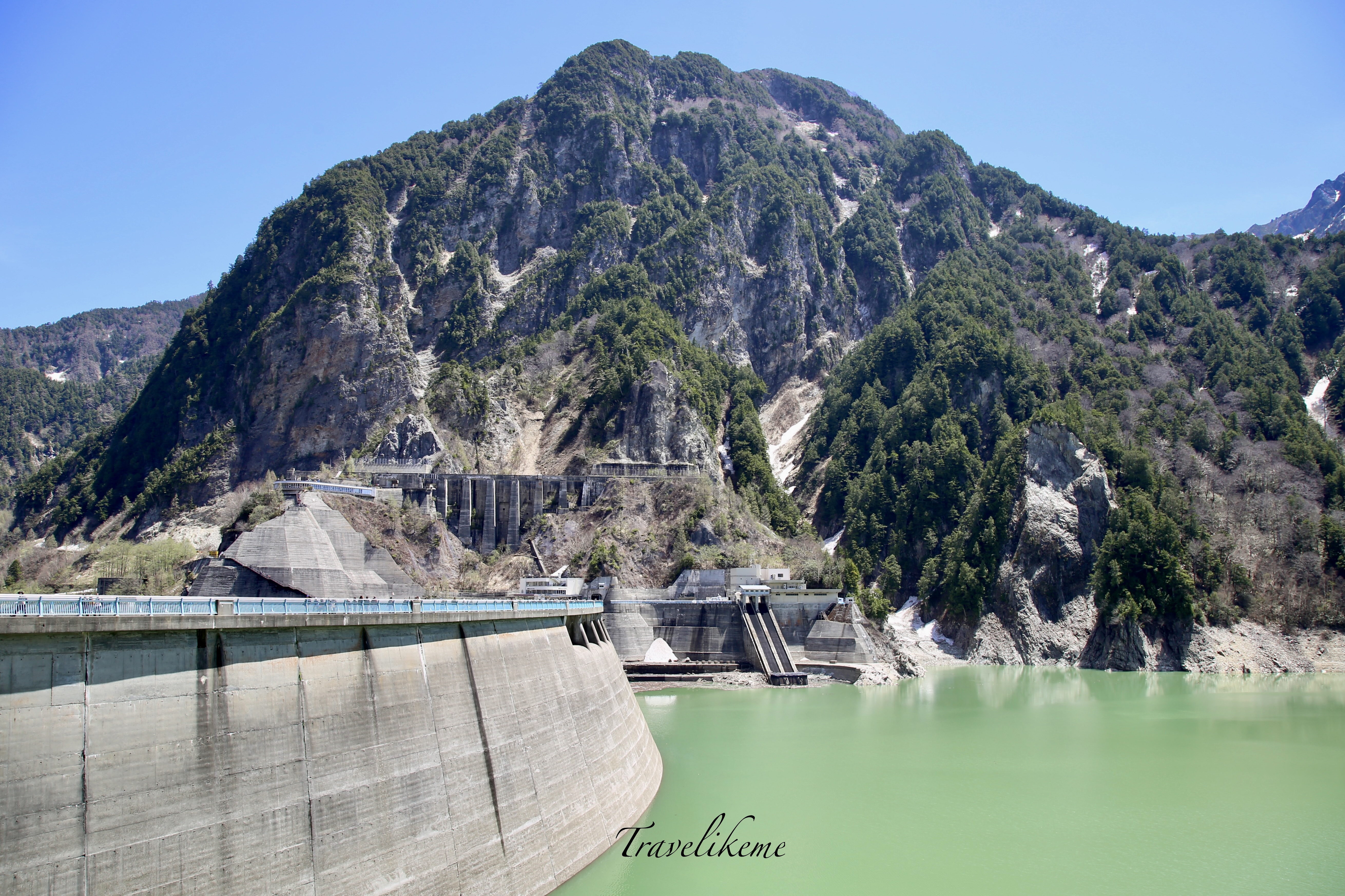
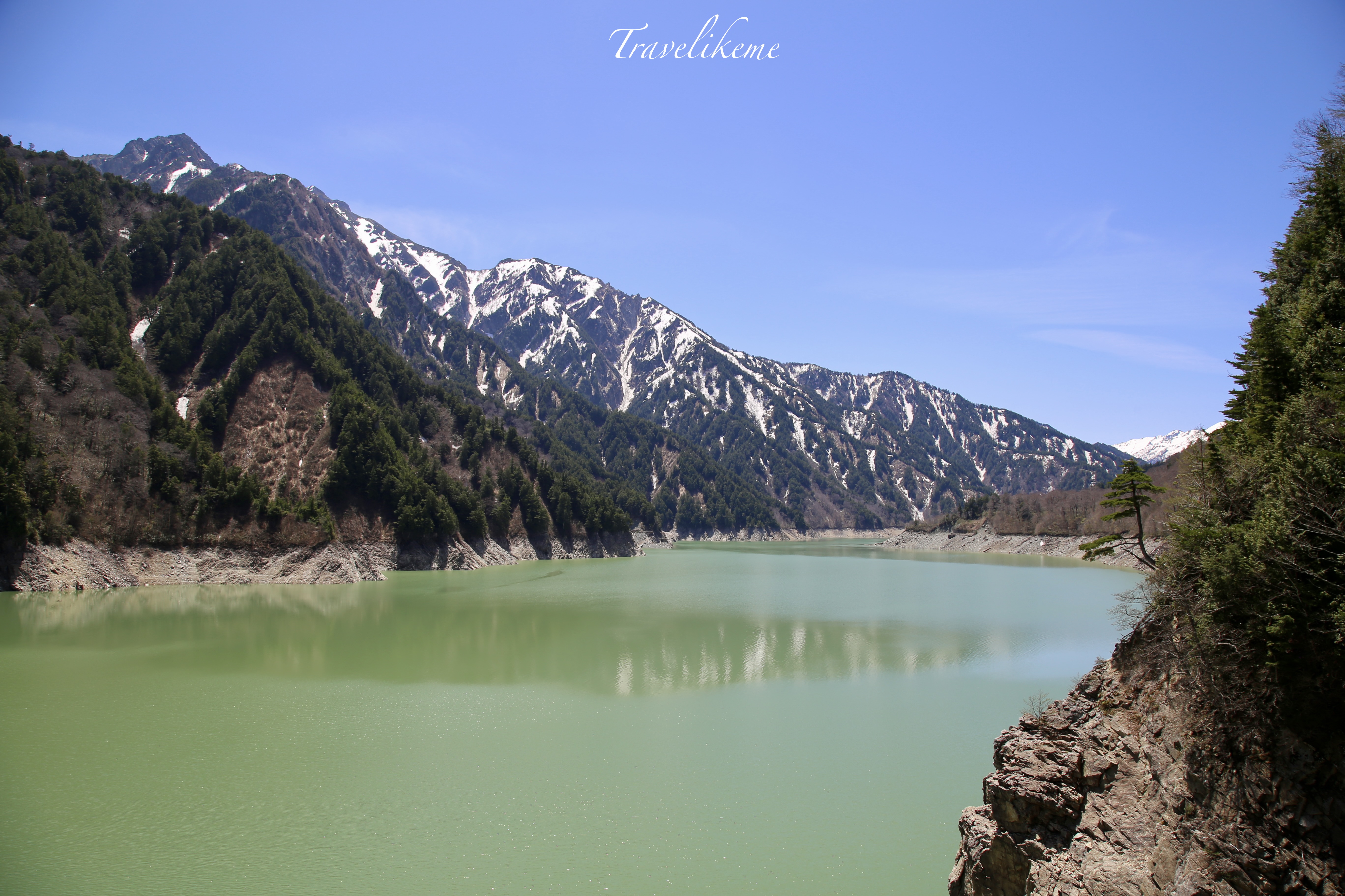
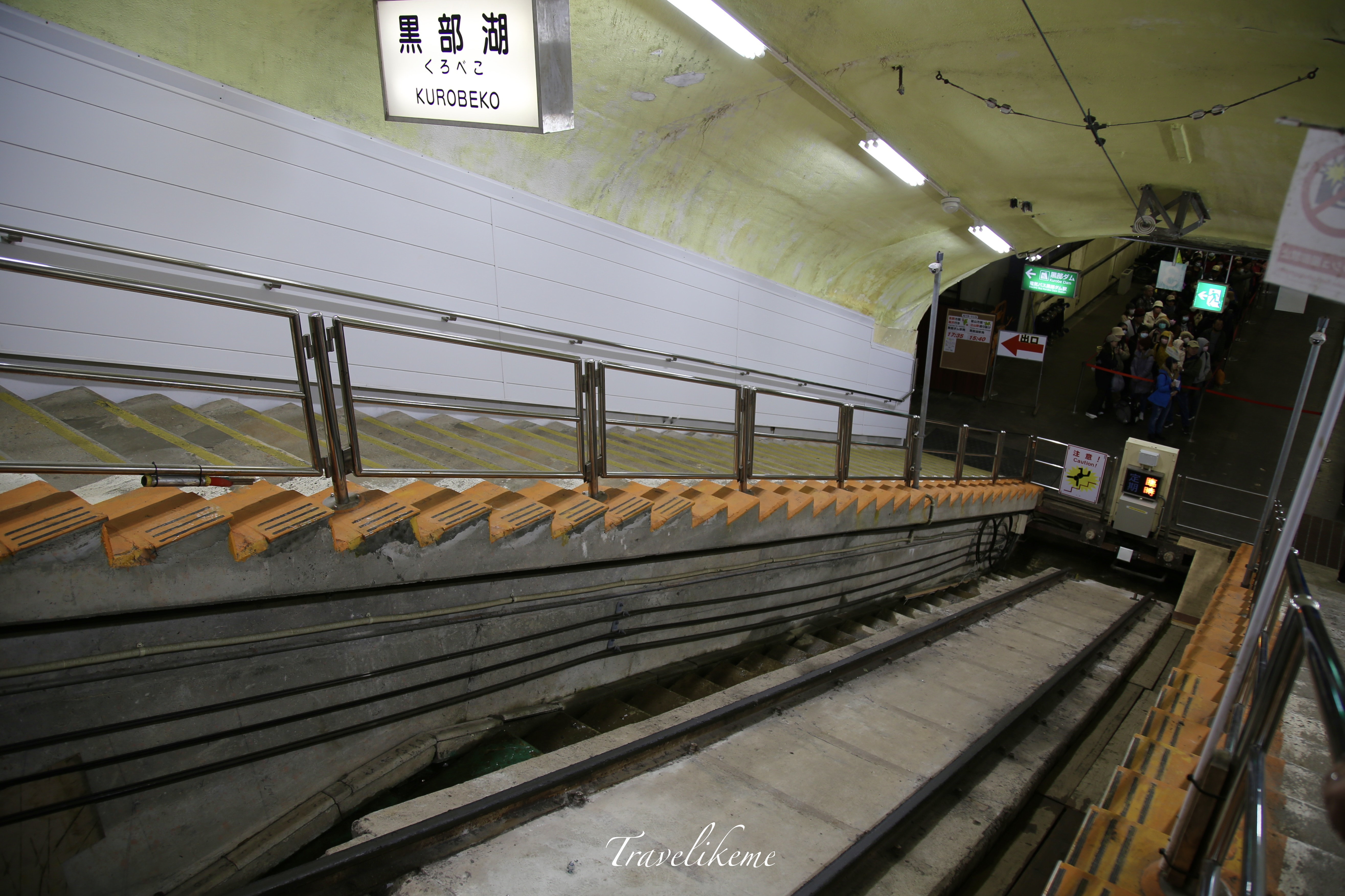
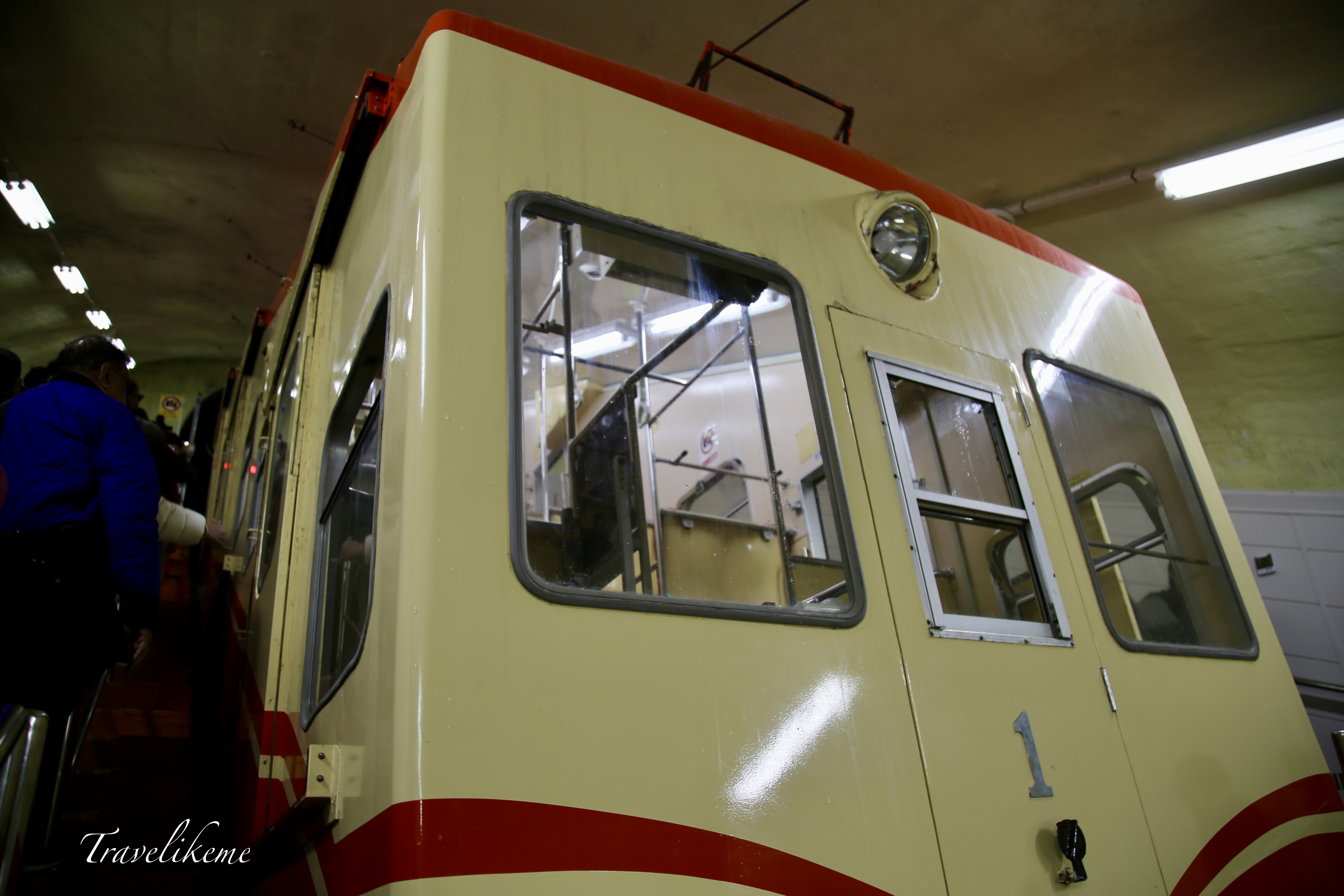
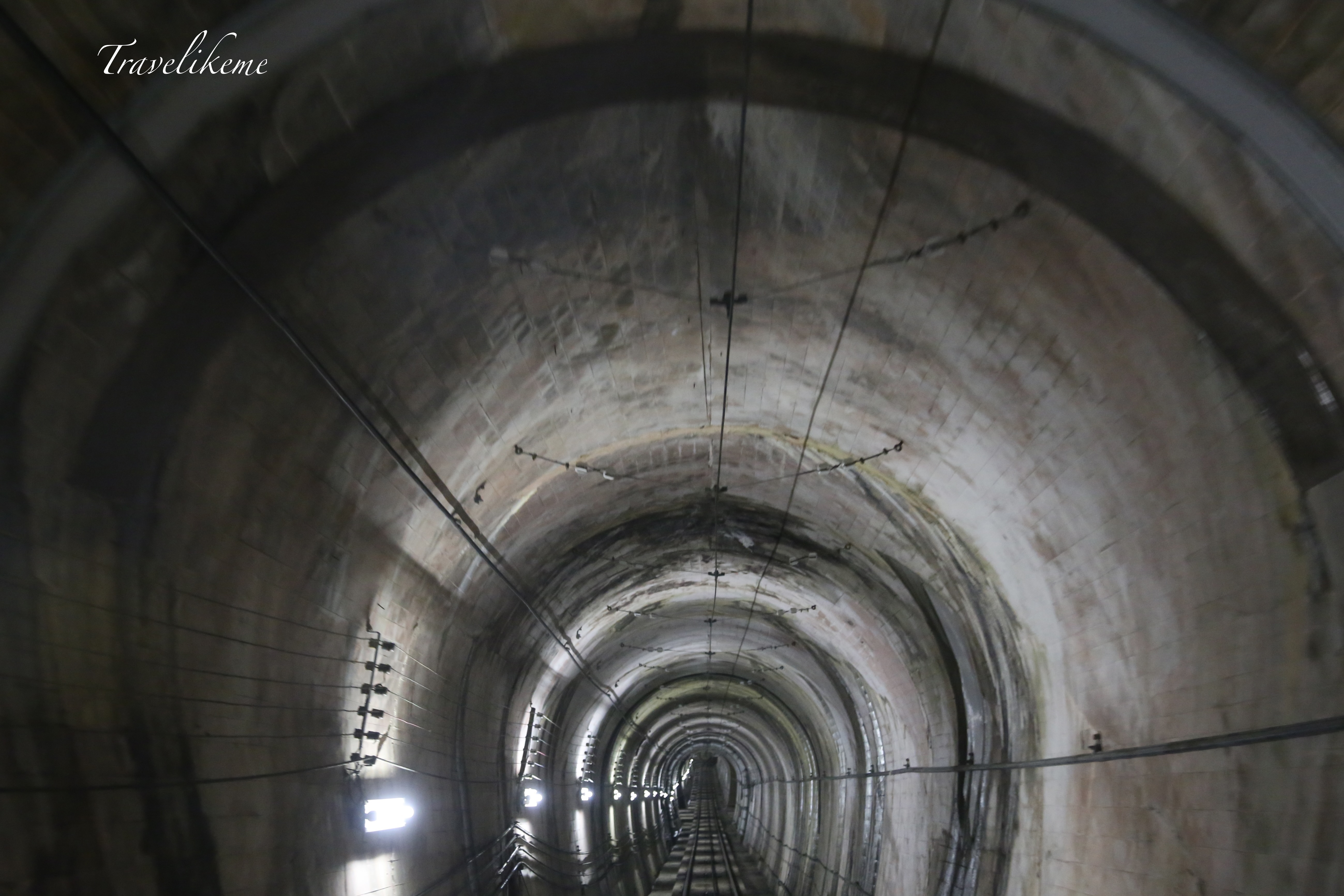
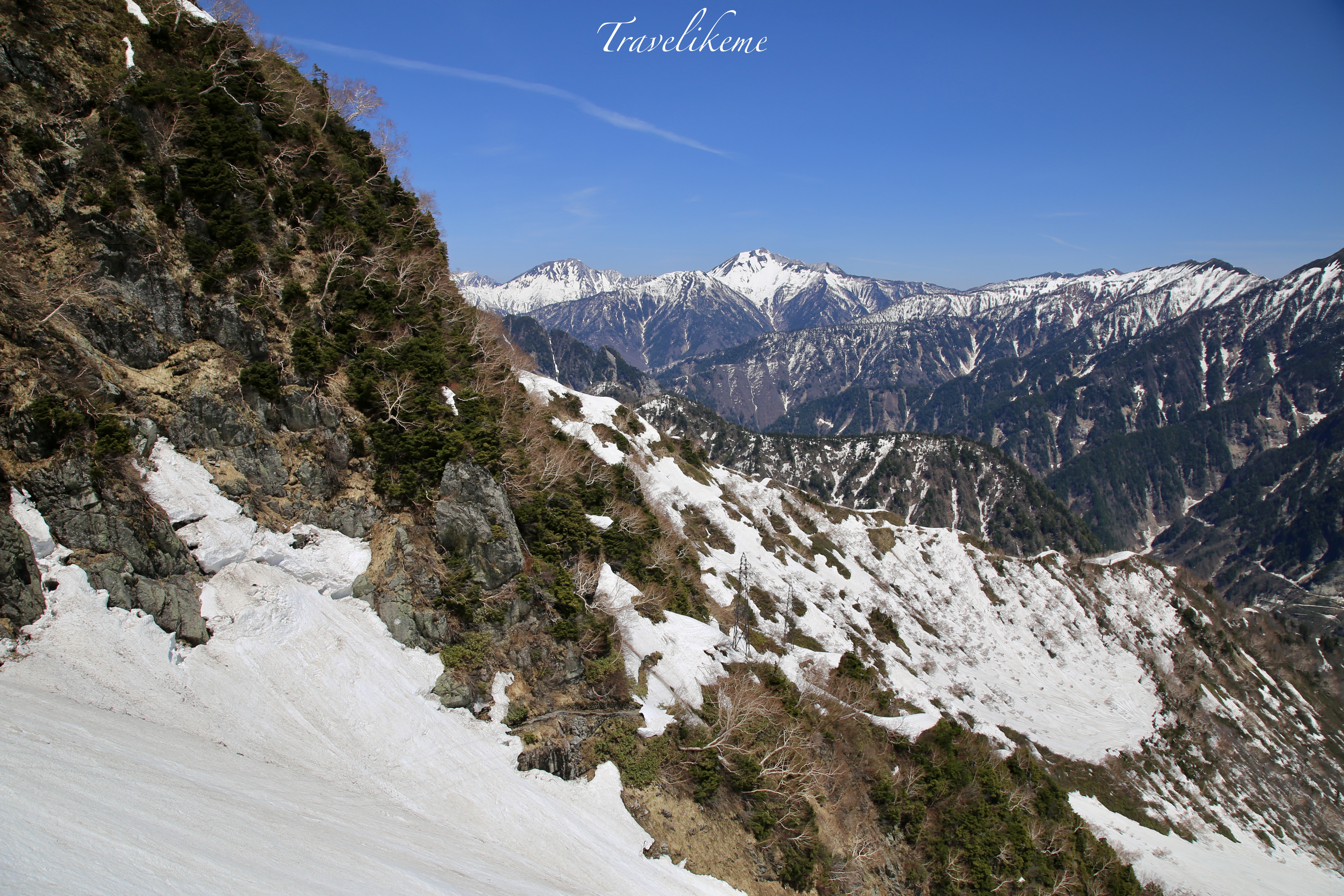
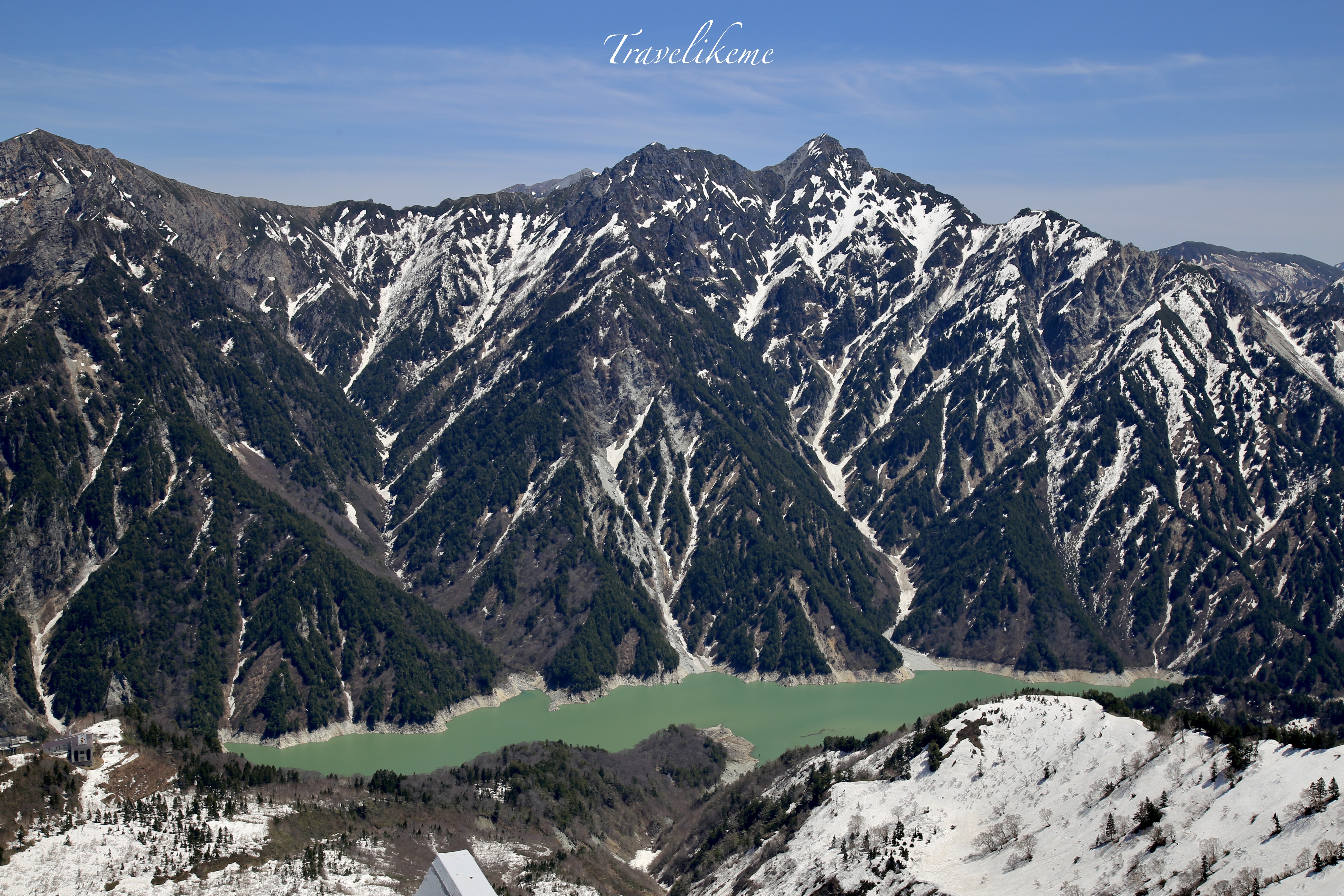
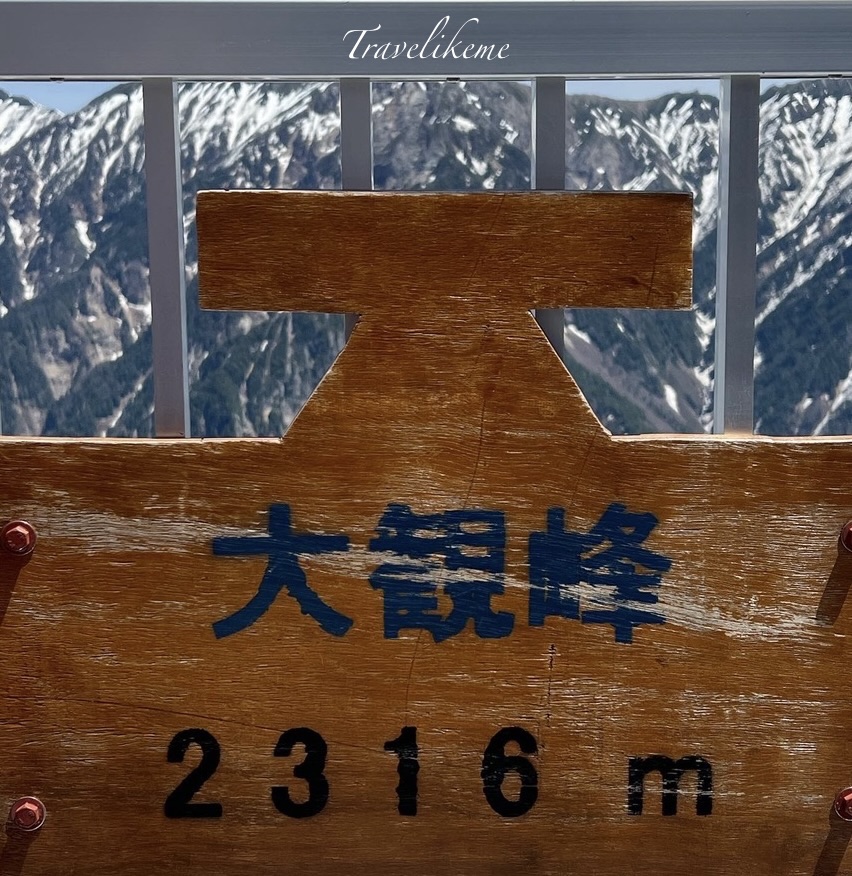
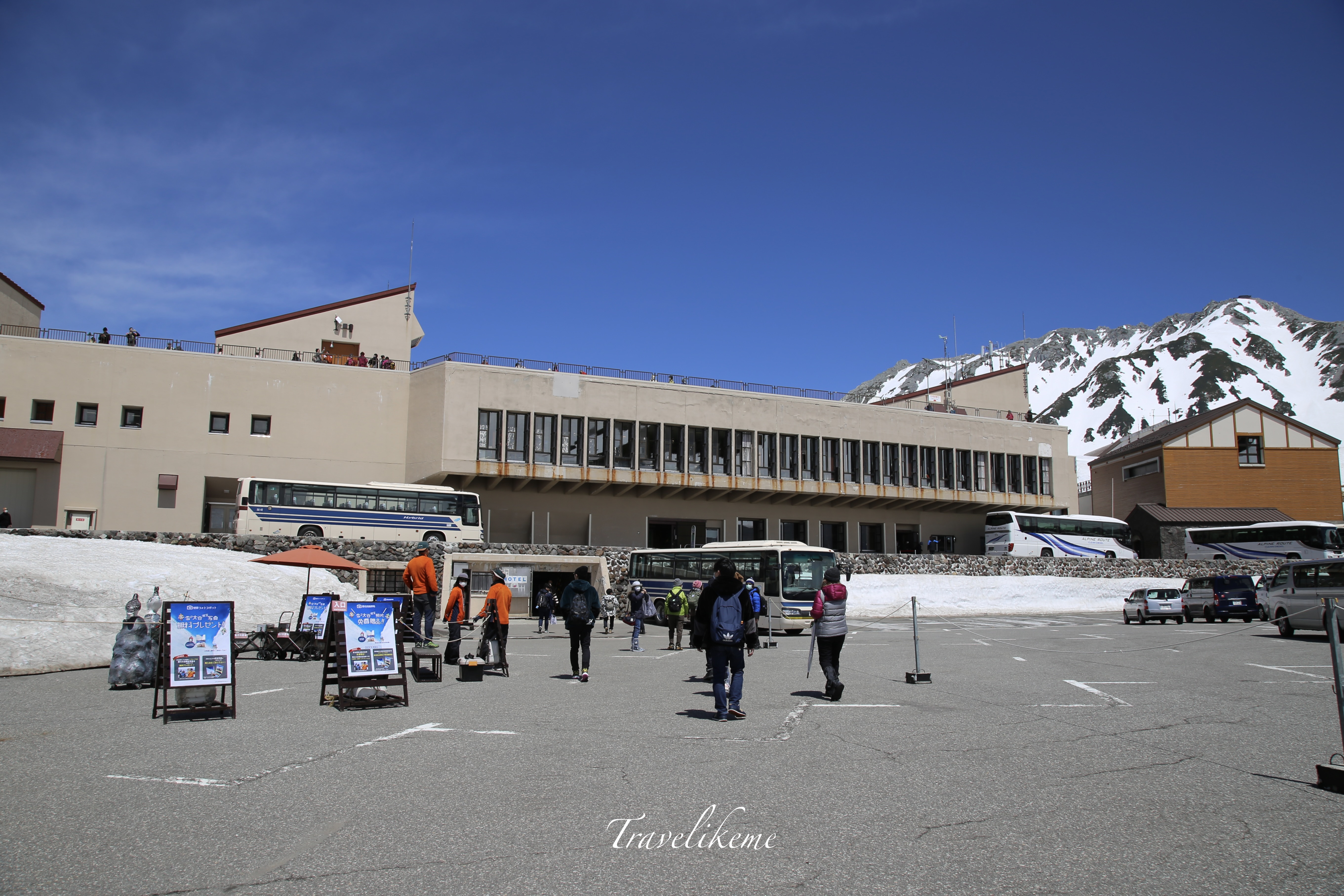
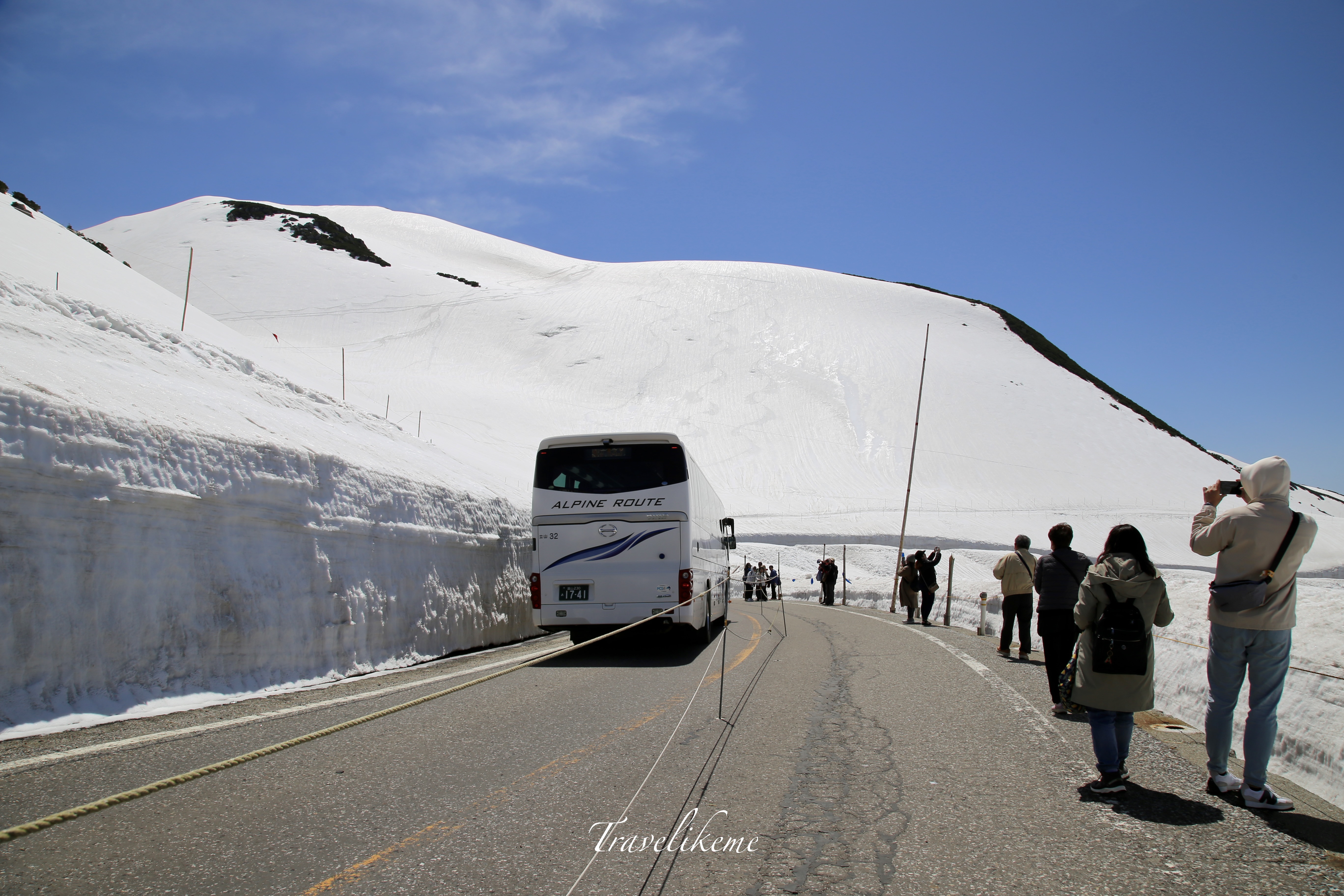
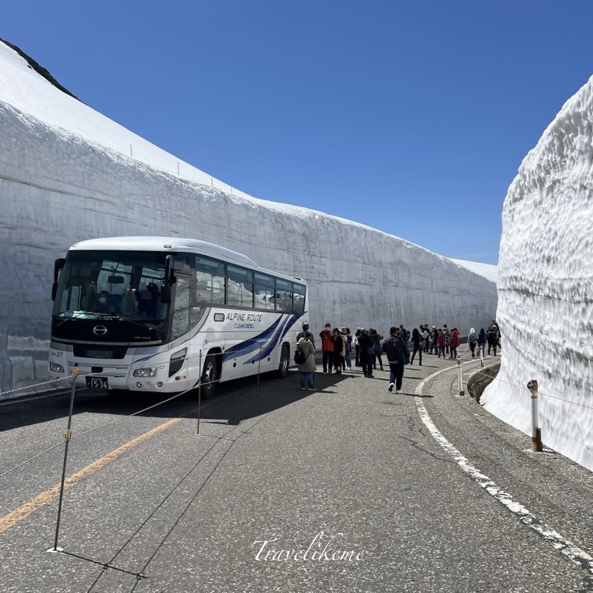
The Tateyama Kurobe Alpine Route starts from 15th April to 30th November 2024. Opened since 1971, this mountain sightseeing road traverses rugged terrain that spans both Toyama and Nagano Prefectures. It is about 37km long and has many scenic stops and hiking trails to be explored.

It sports a diverse look in different seasons but it would be best in Spring time from April to June if you specifically want to see the snow corridor. From the top of the mountain, it is possible to see Mt Fuji on a fine day.

Leave a comment