The Great Ocean Road (GOR) drive is one of the world’s most iconic scenic touring routes, spanning some 243km along the stunning coastline of the state of Victoria, Australia.
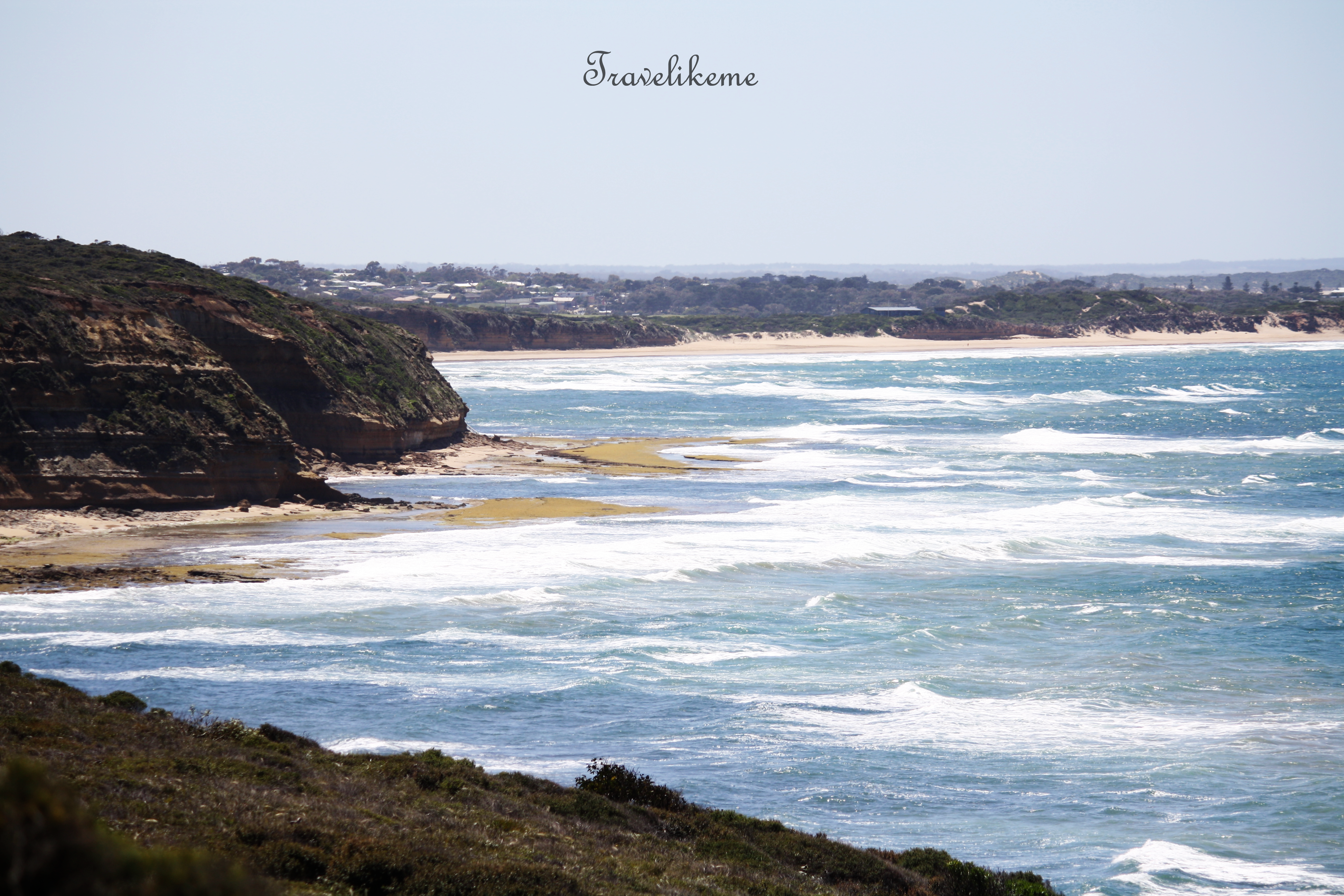
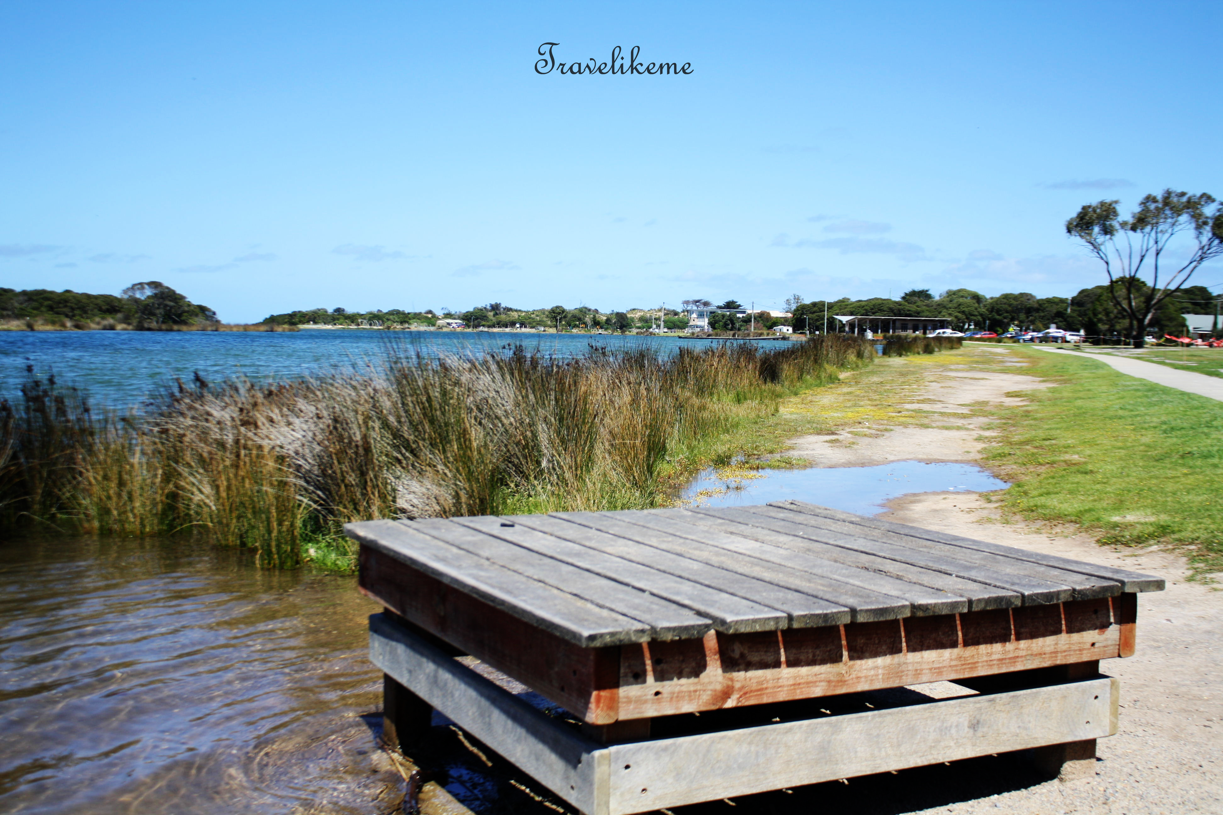
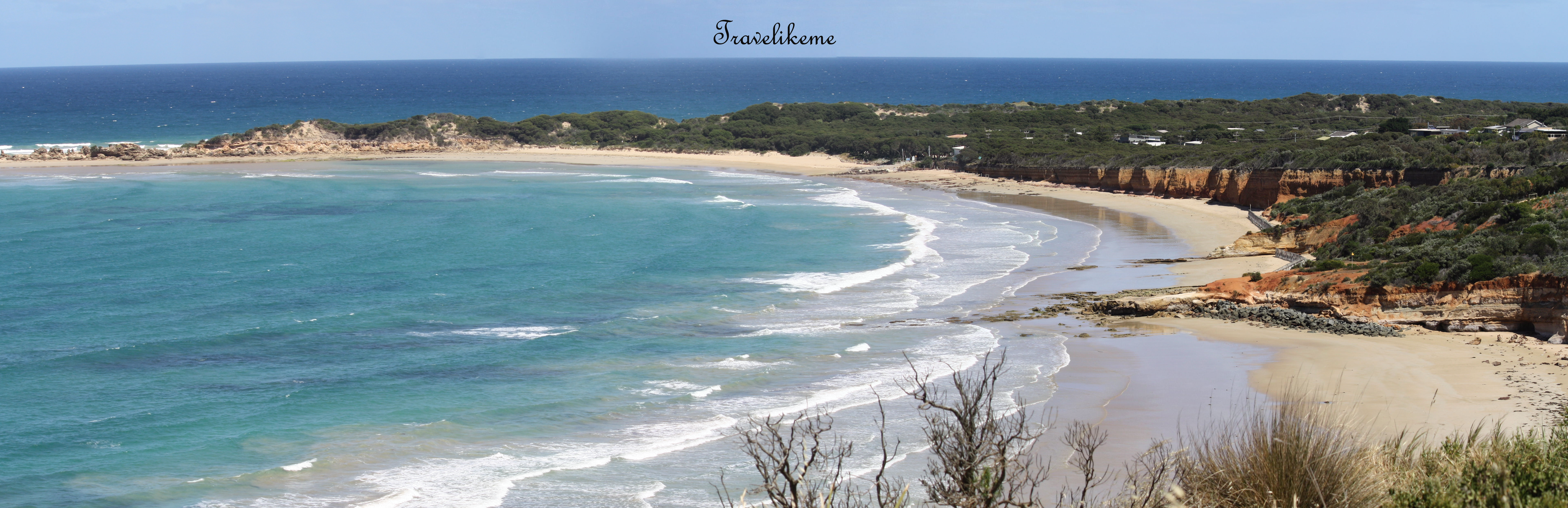
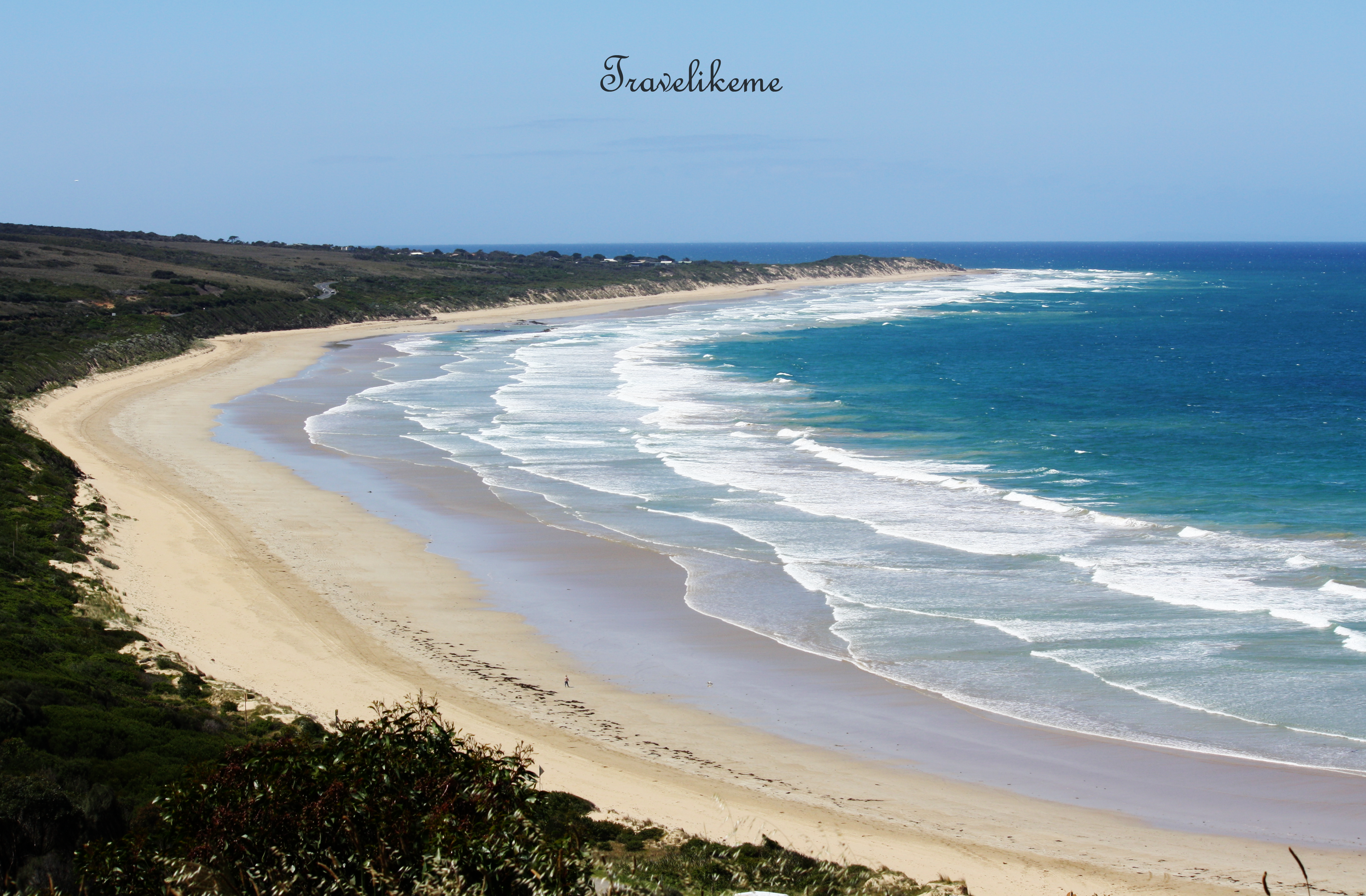
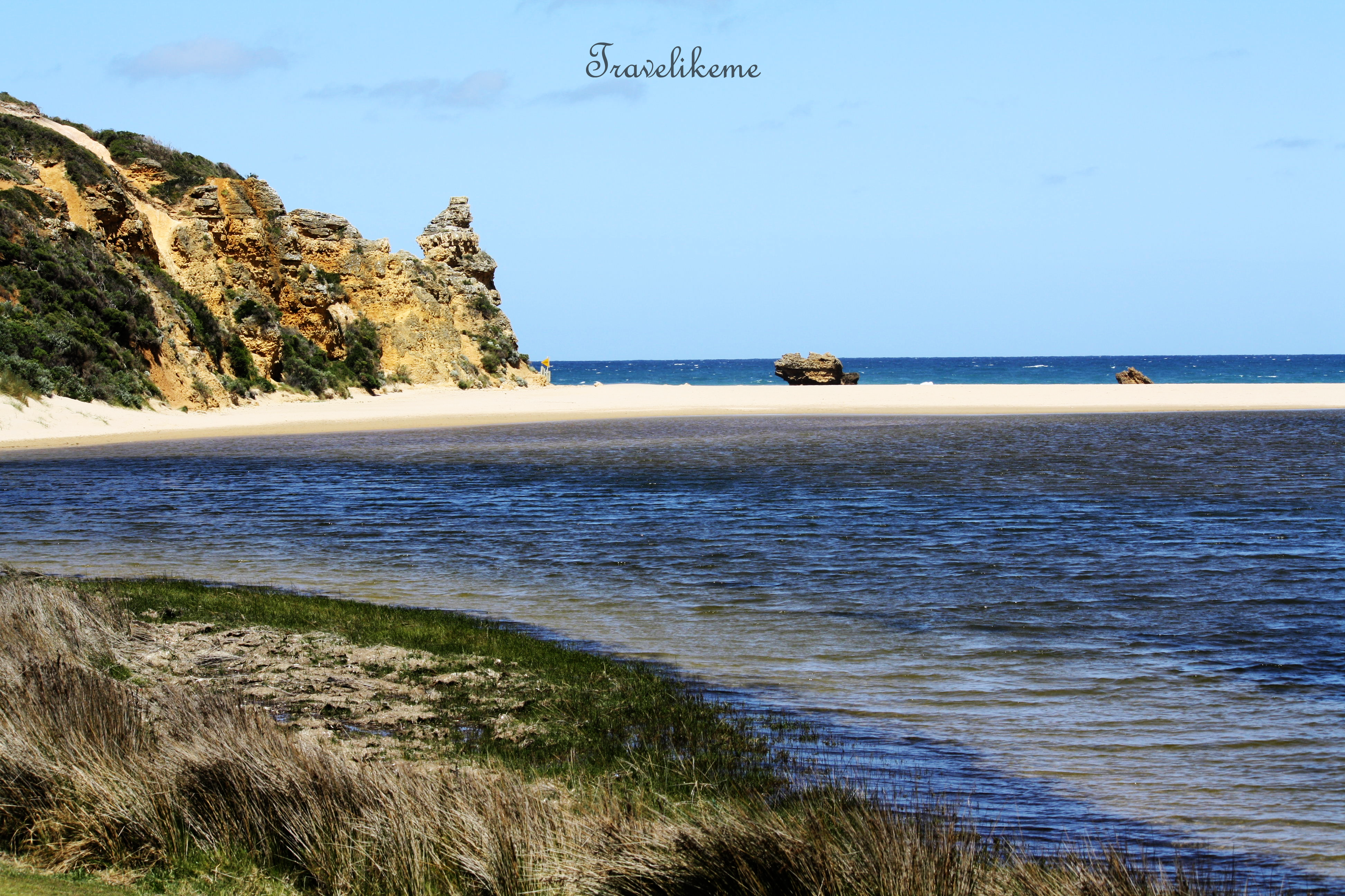
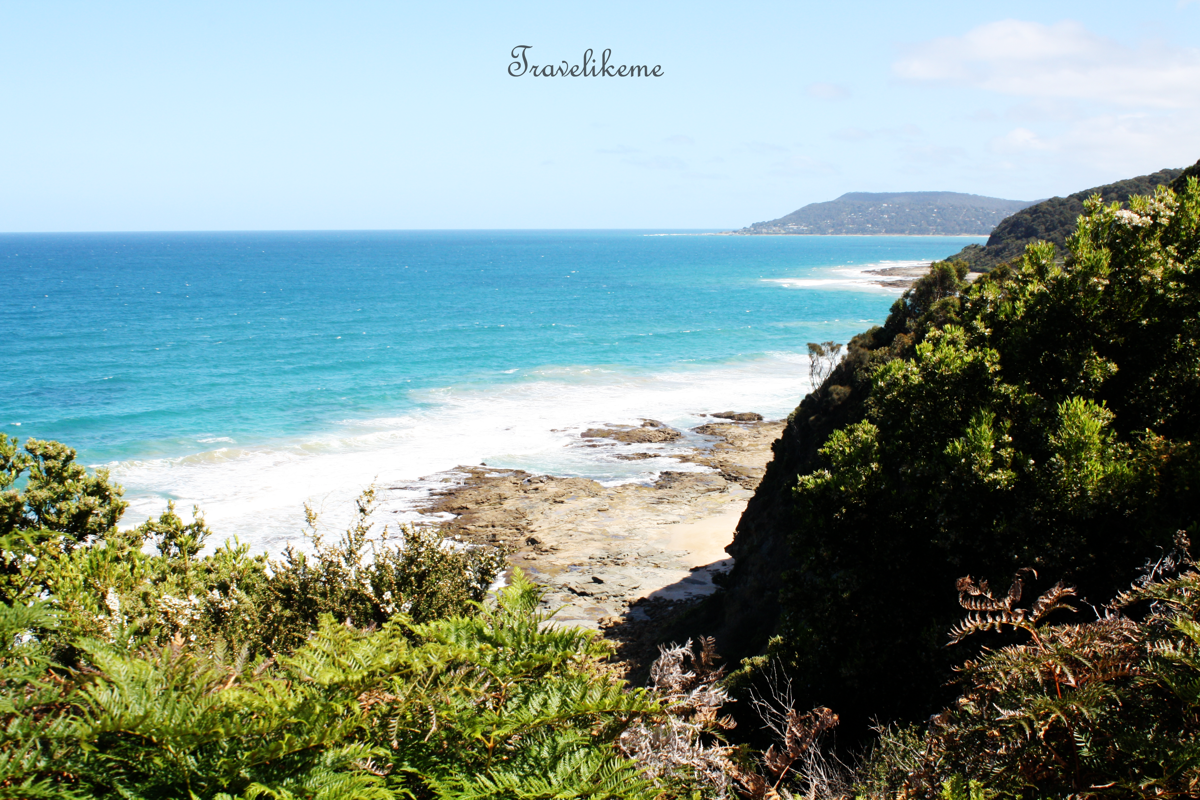
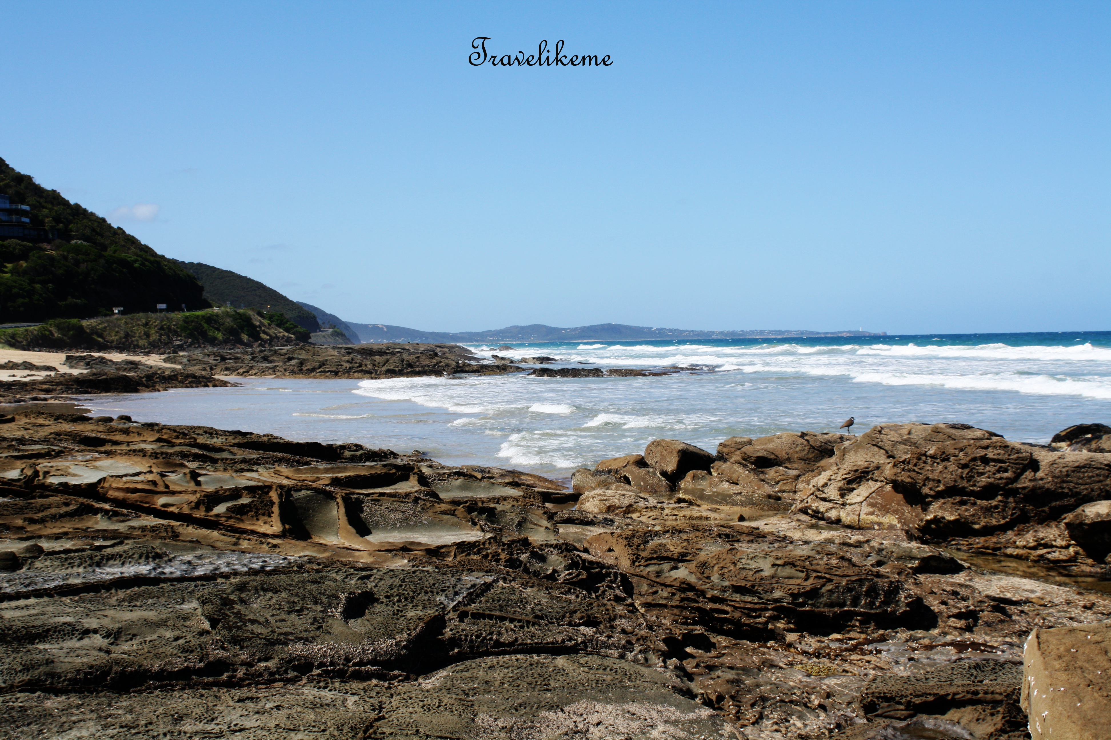
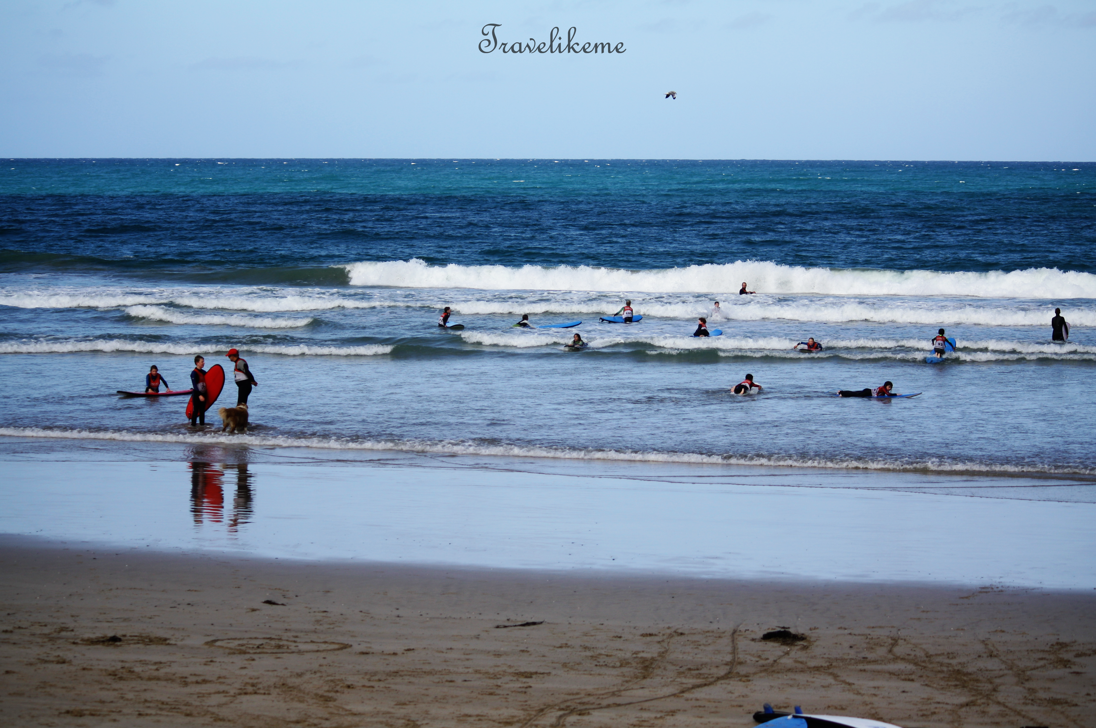
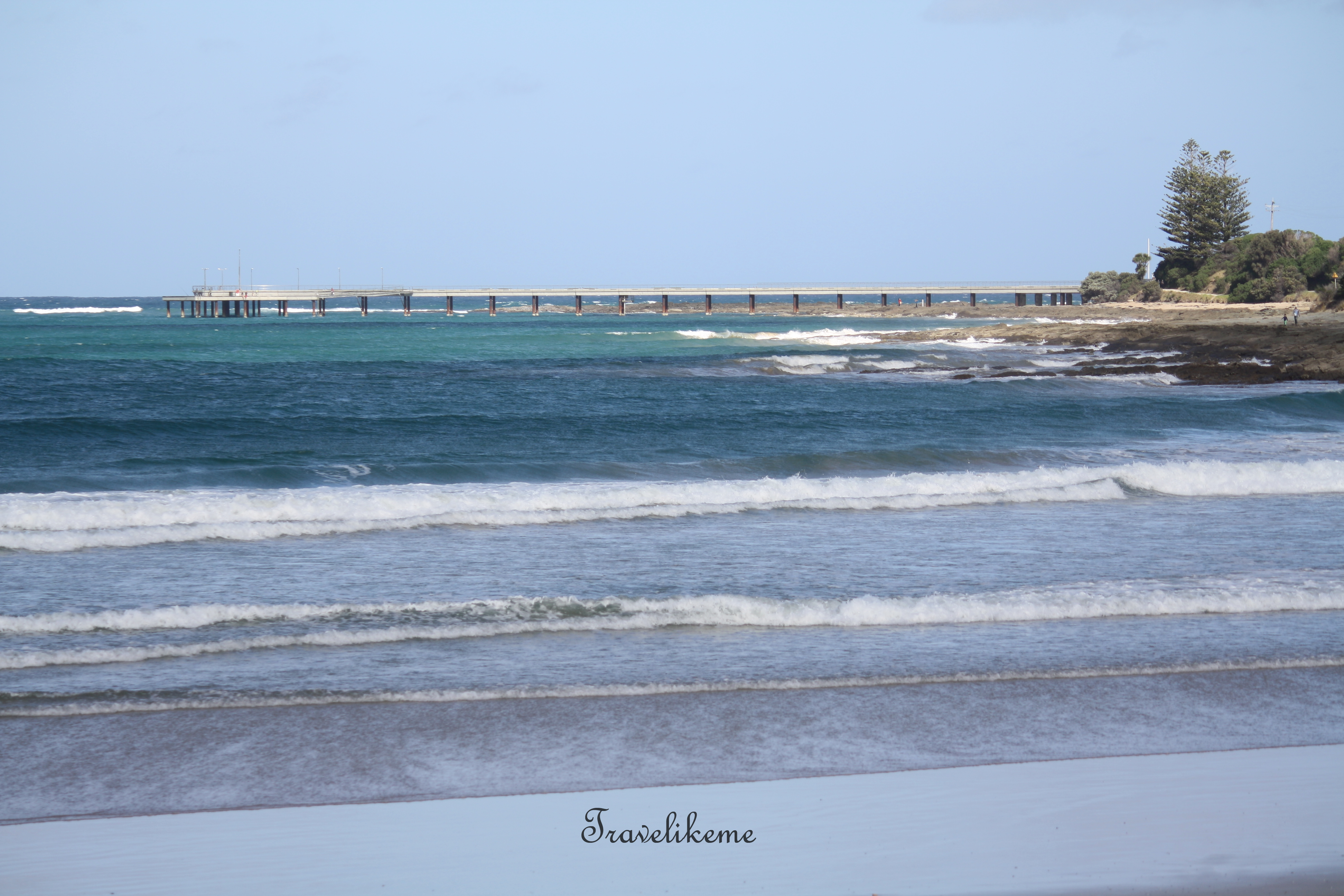
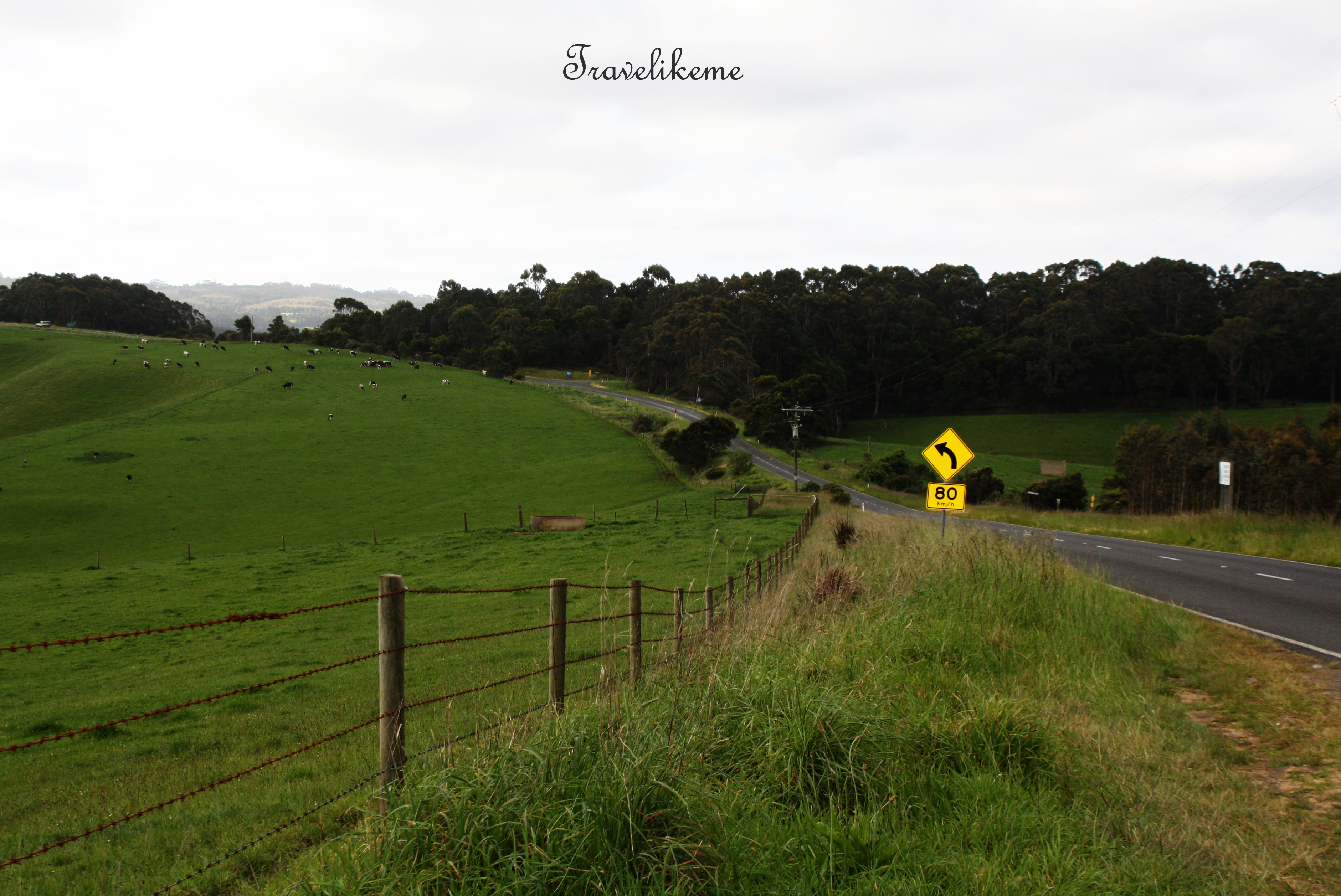
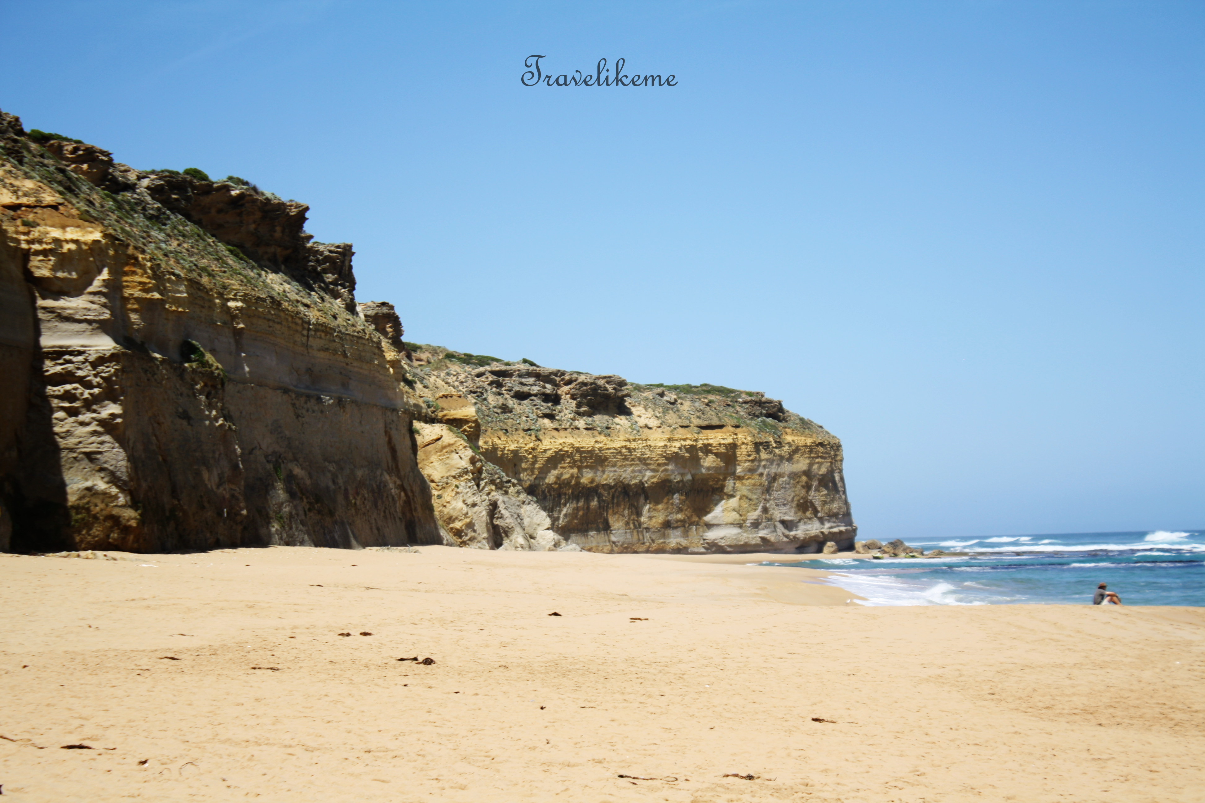
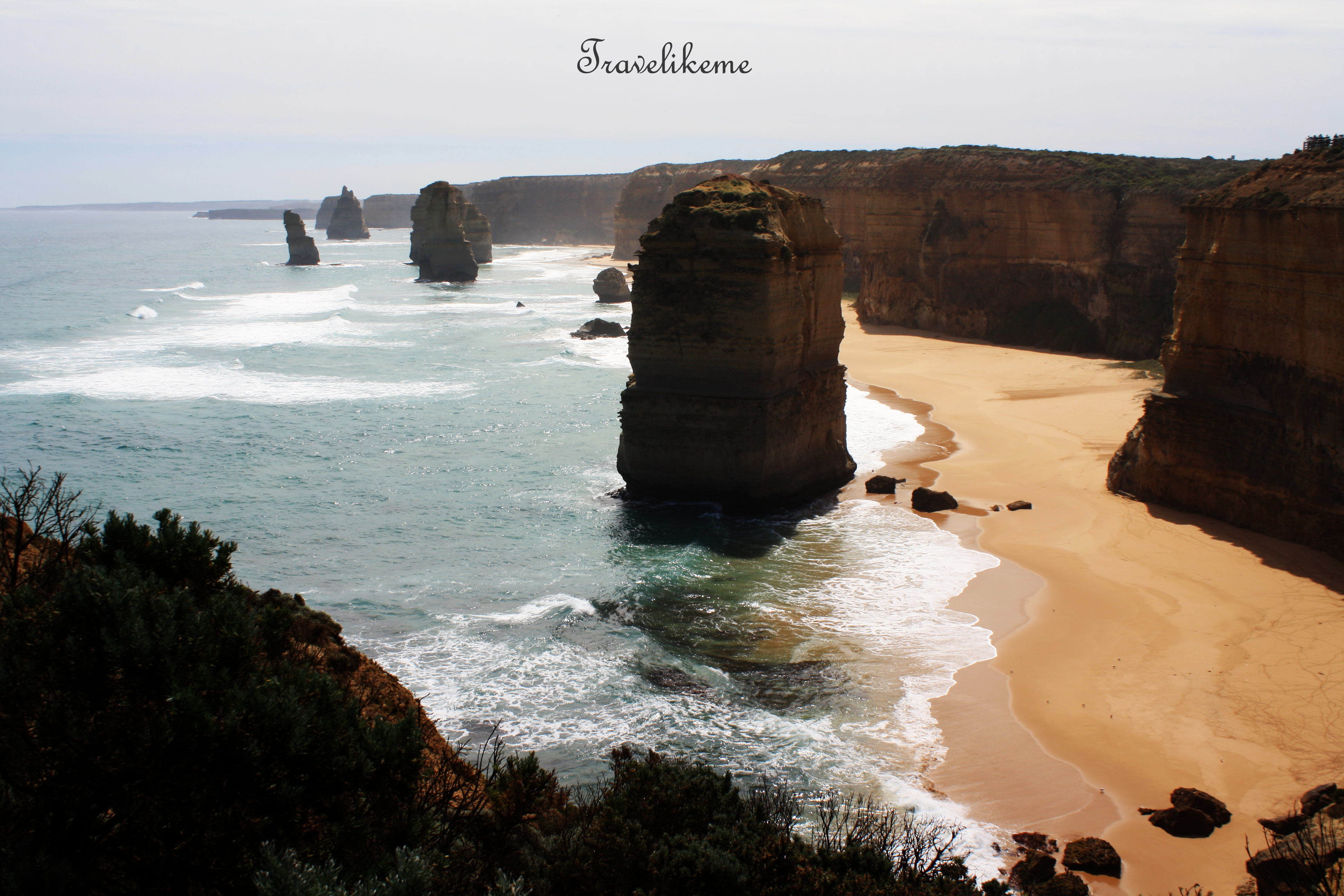
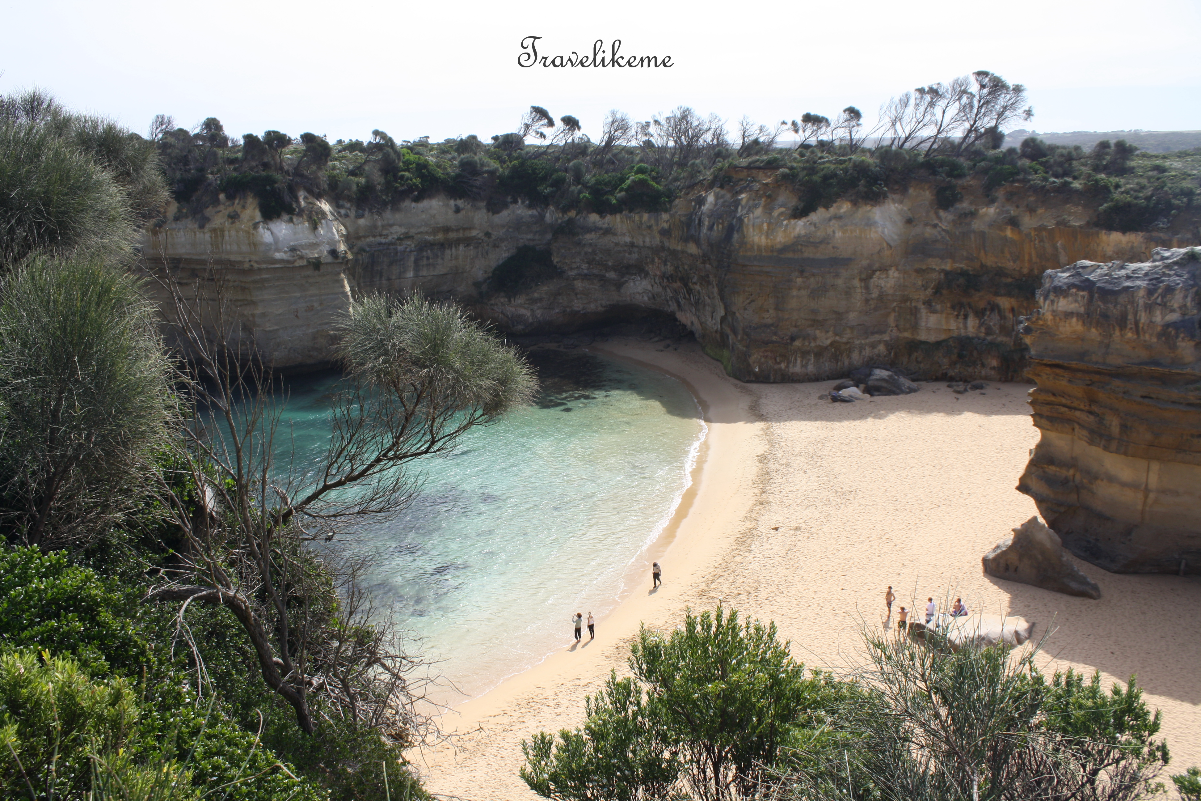
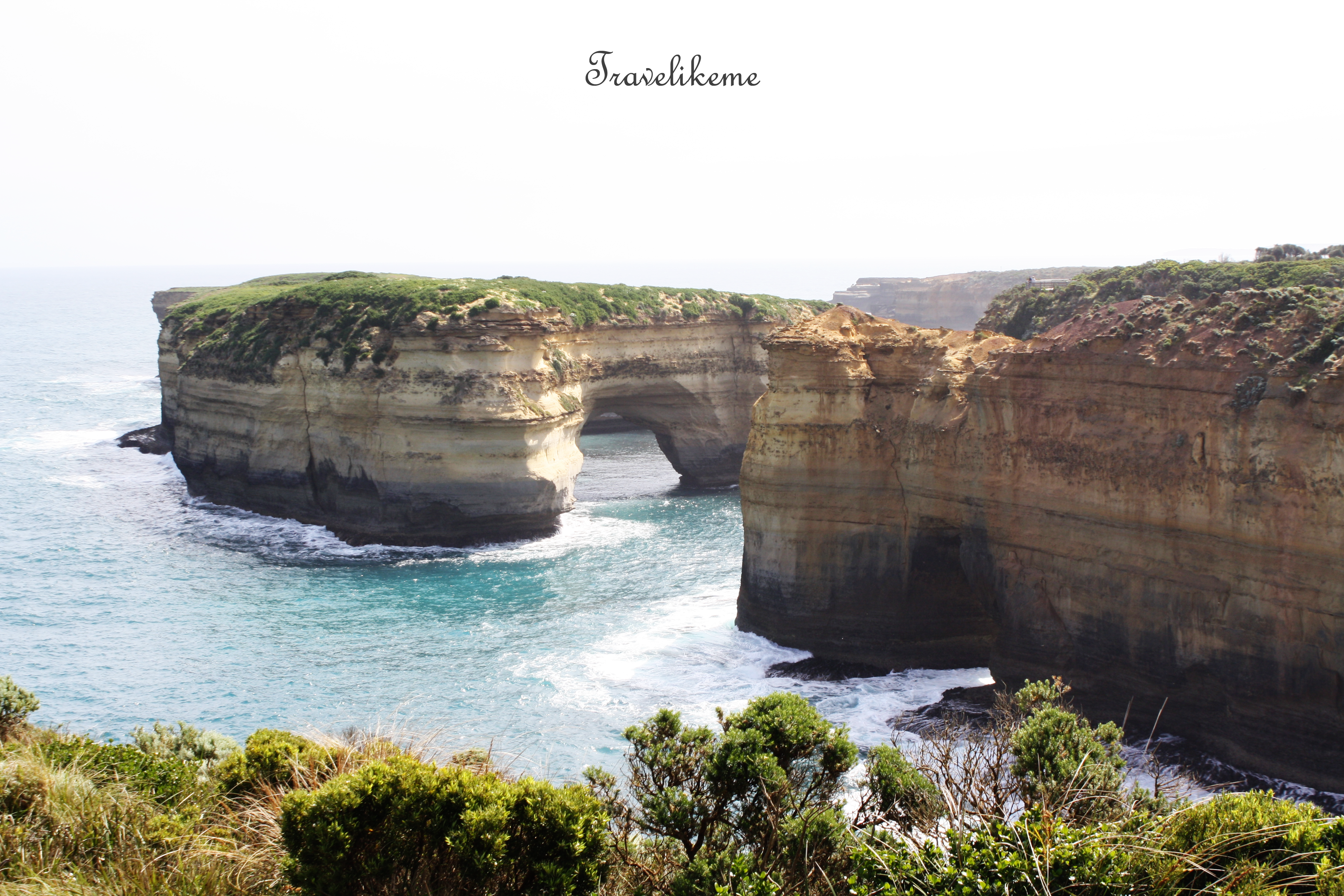
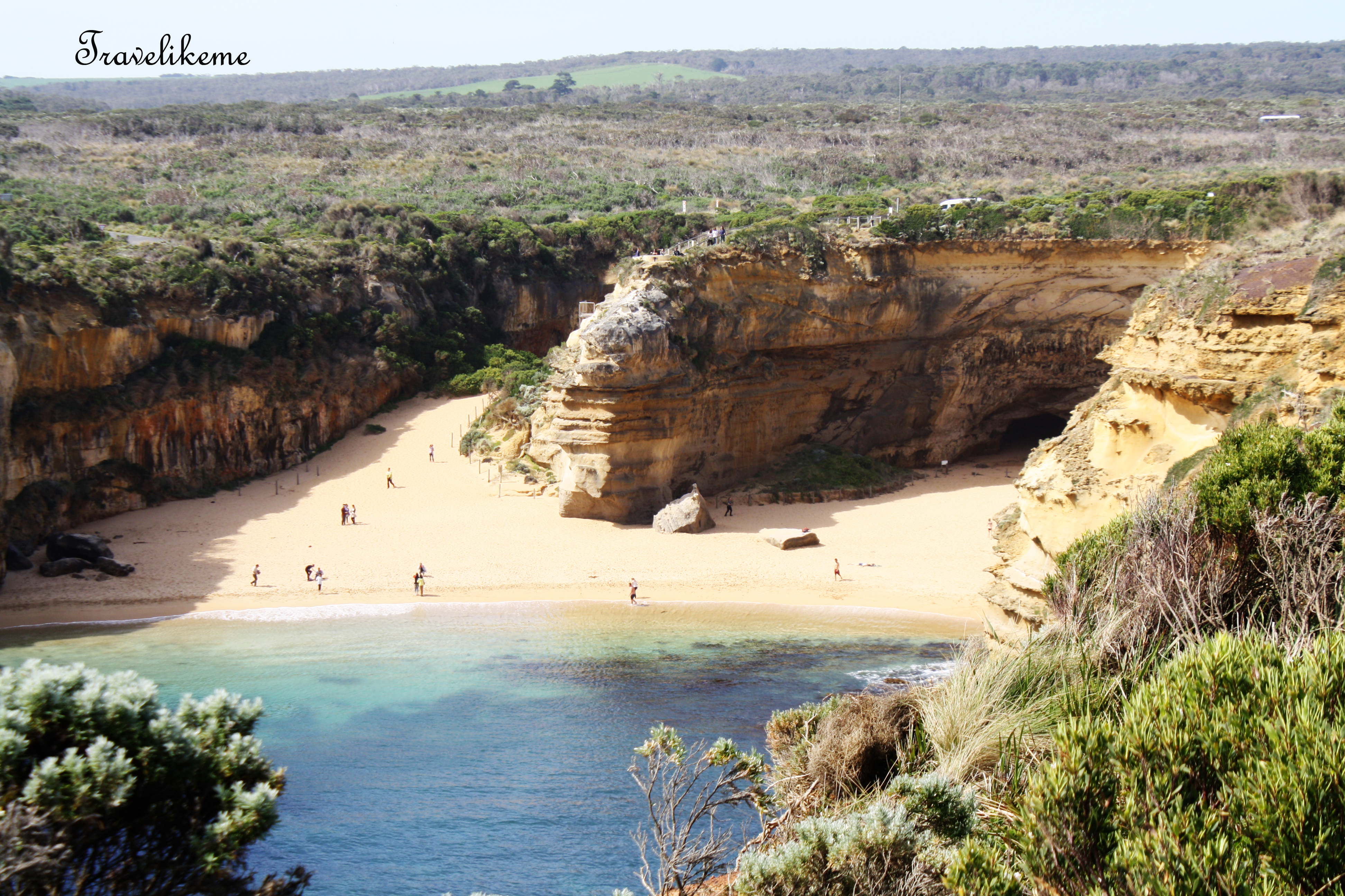
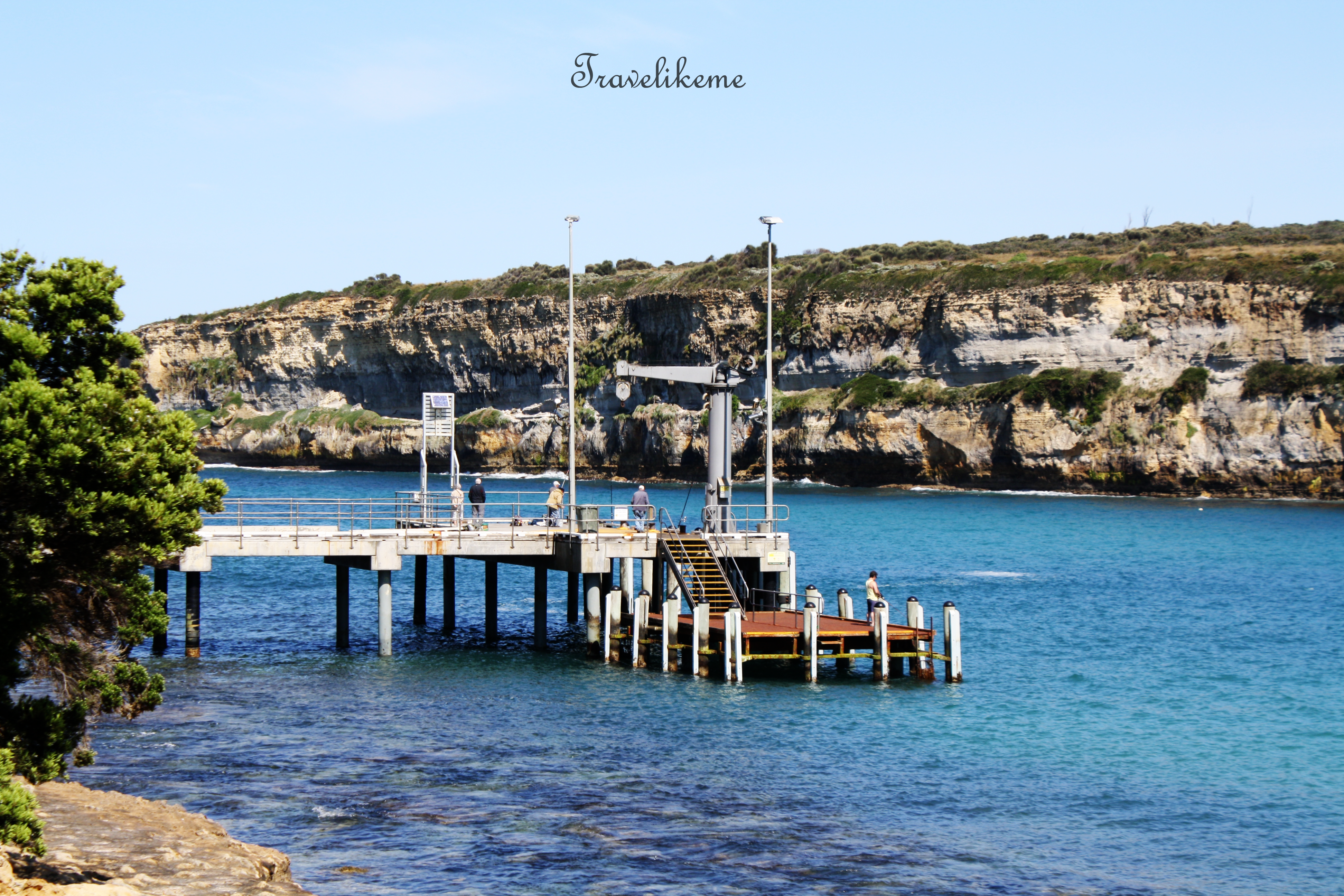
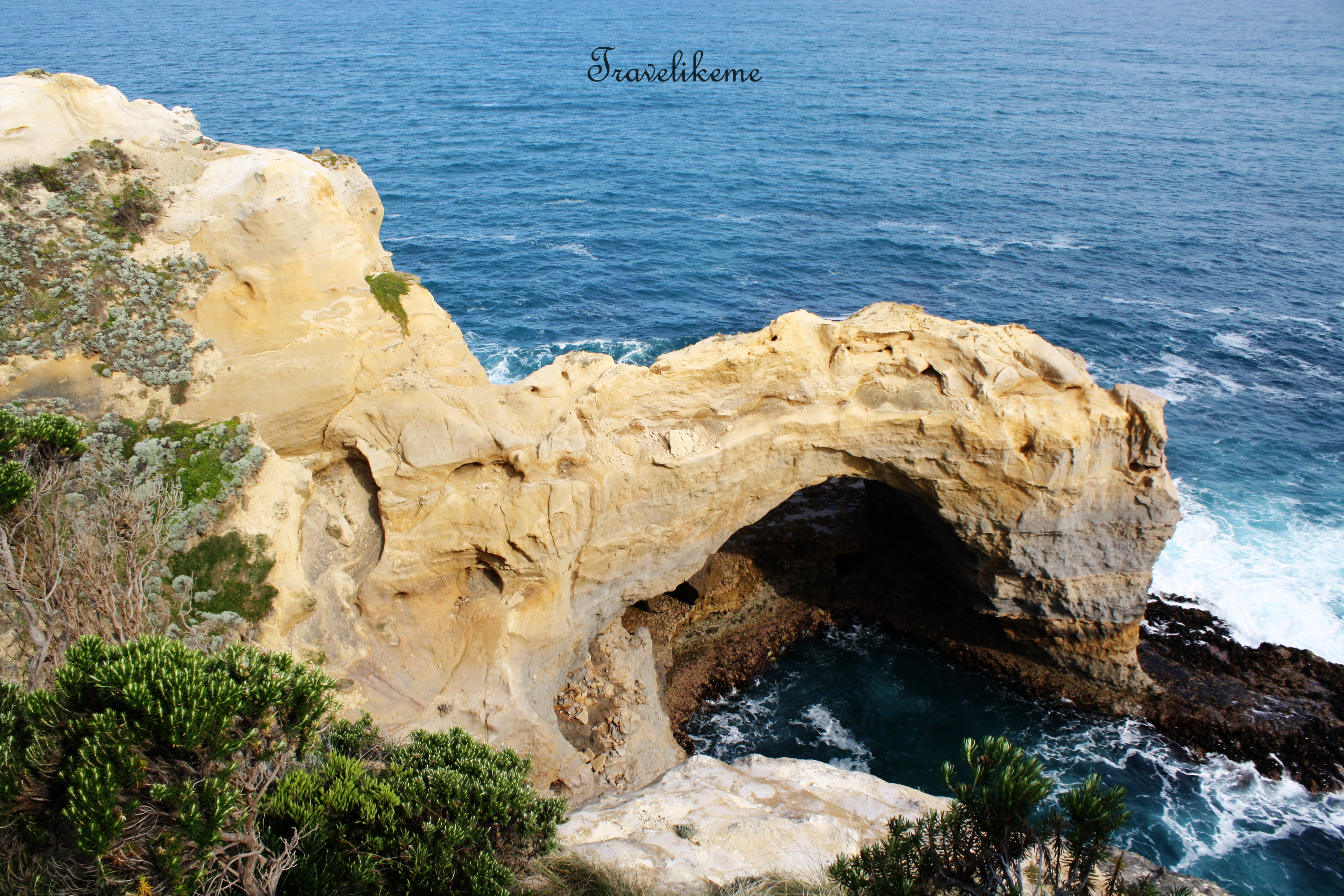
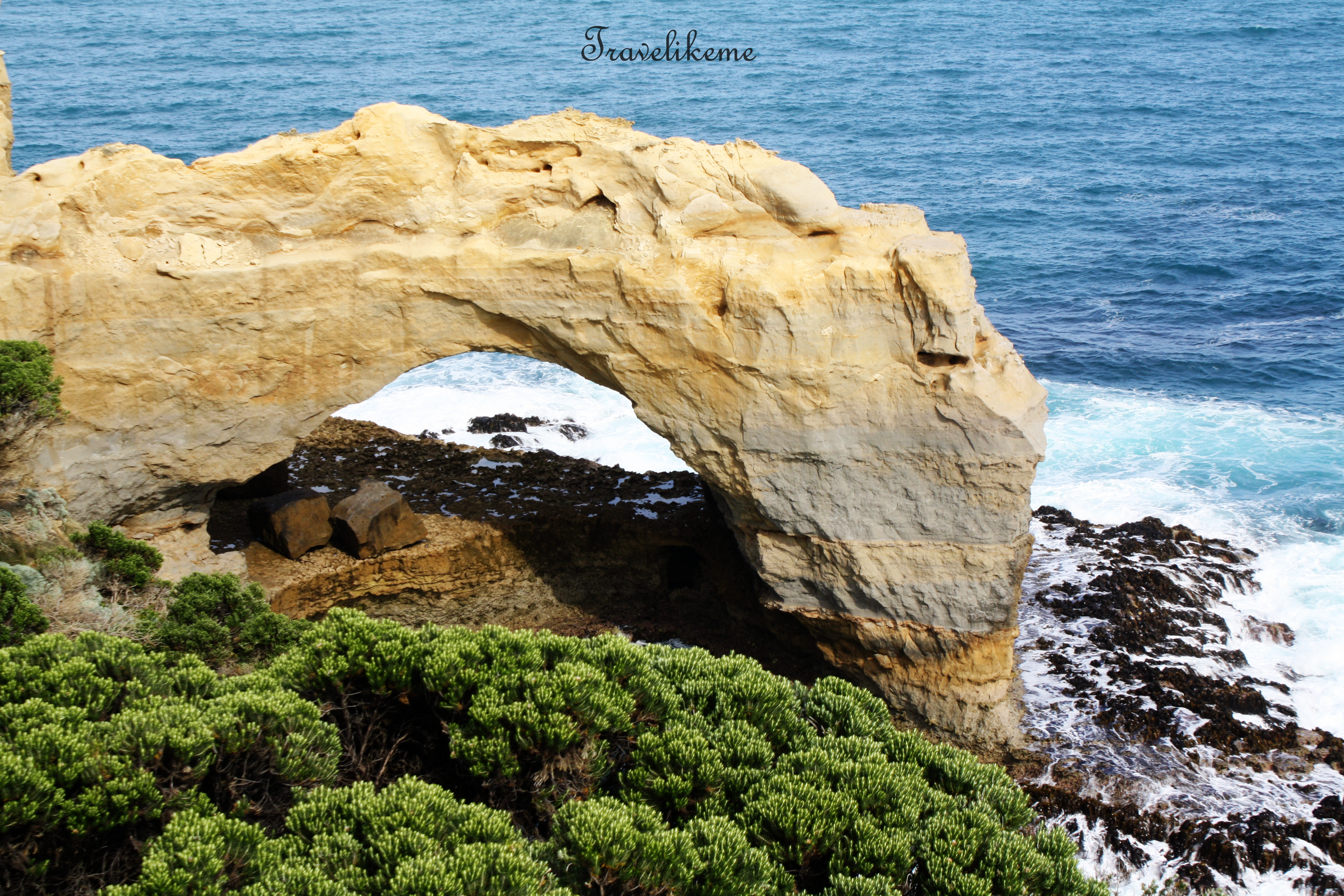
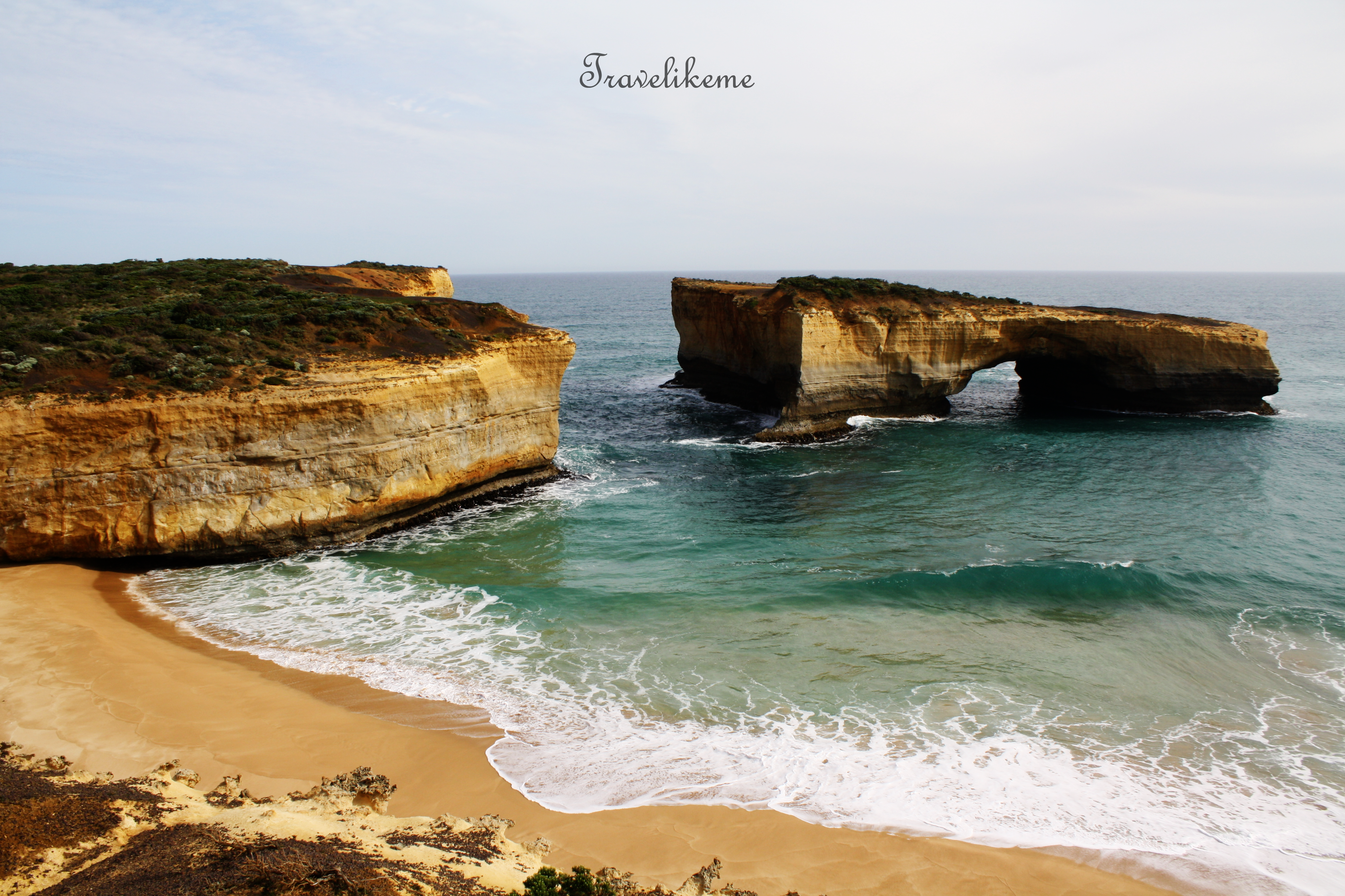
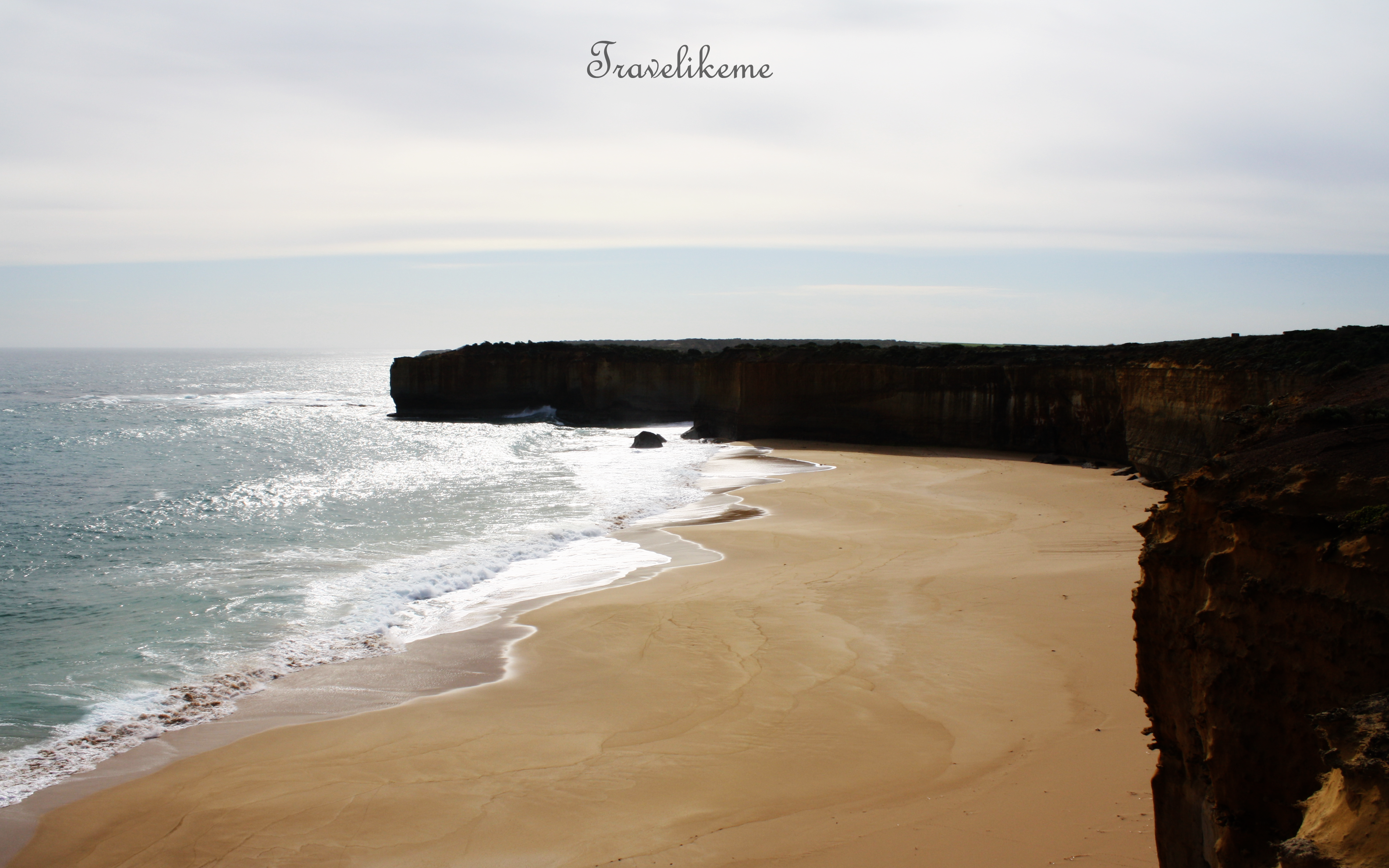
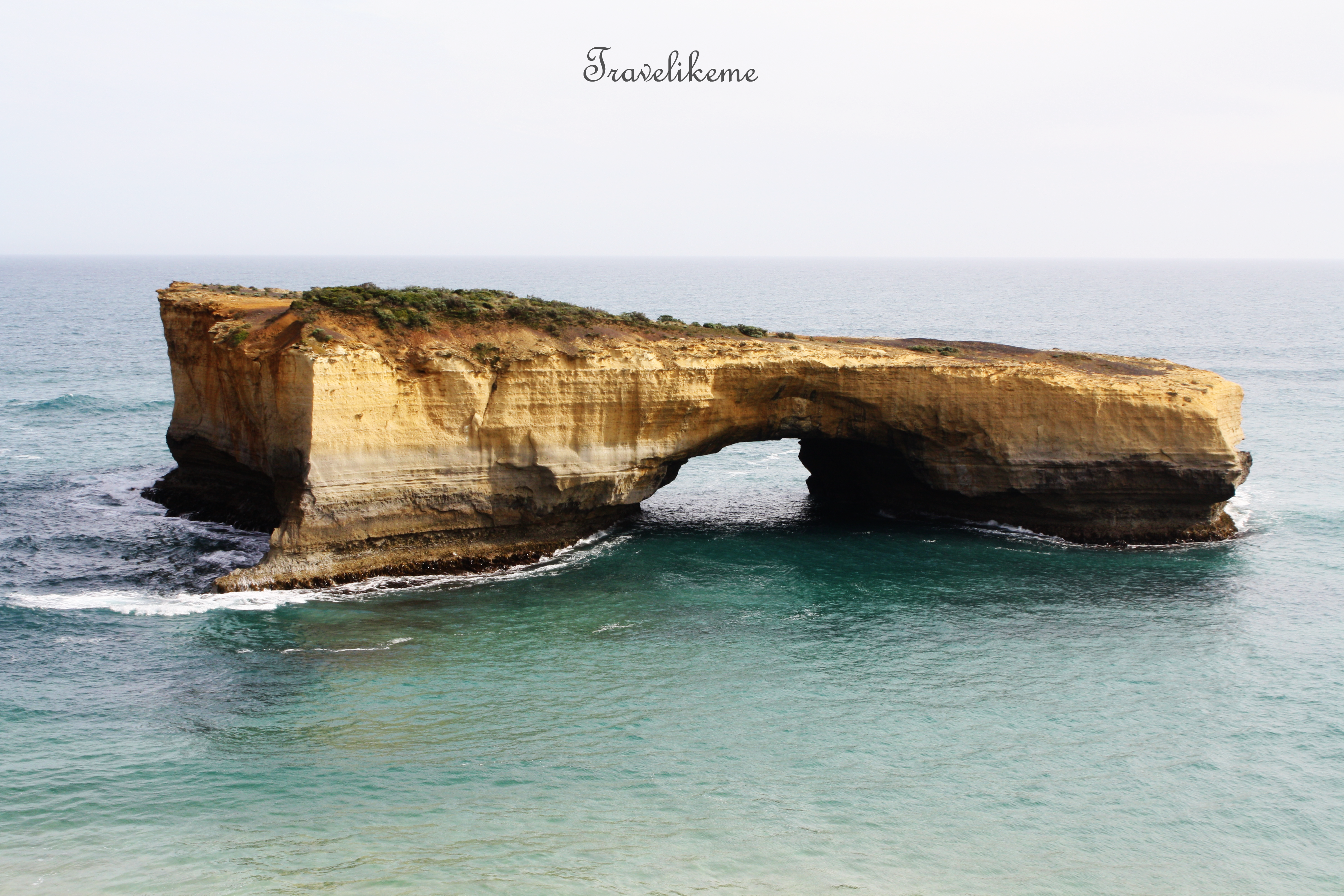
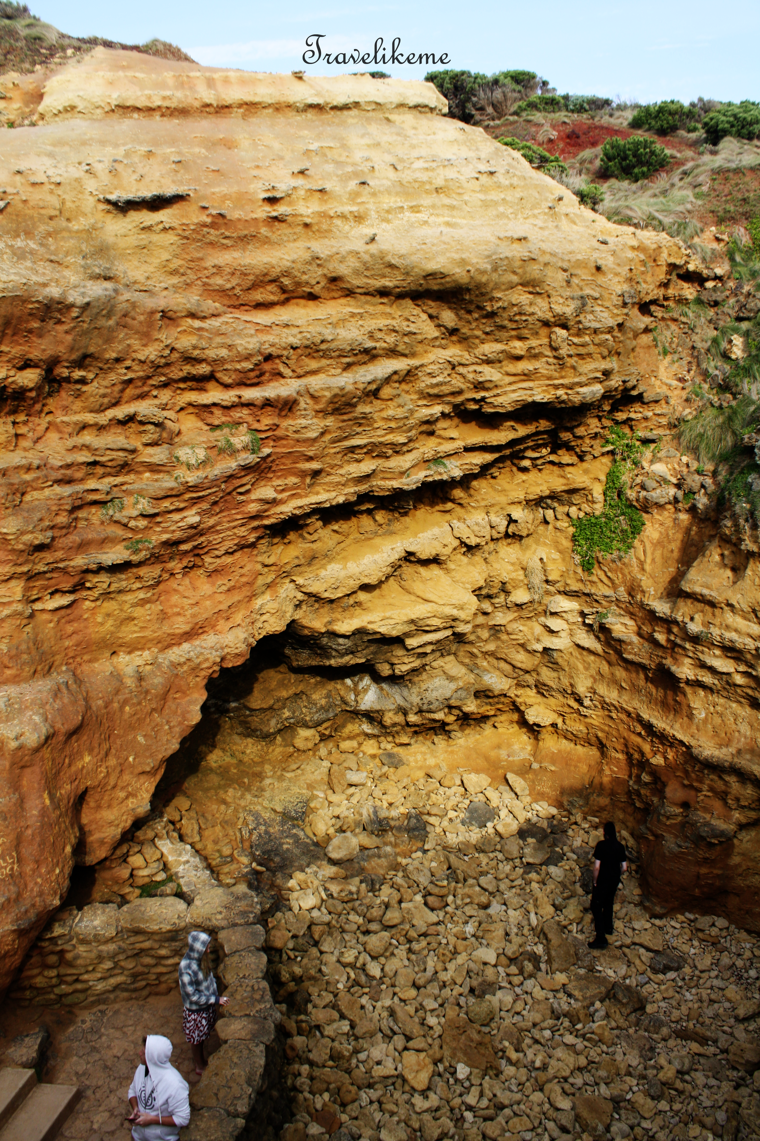
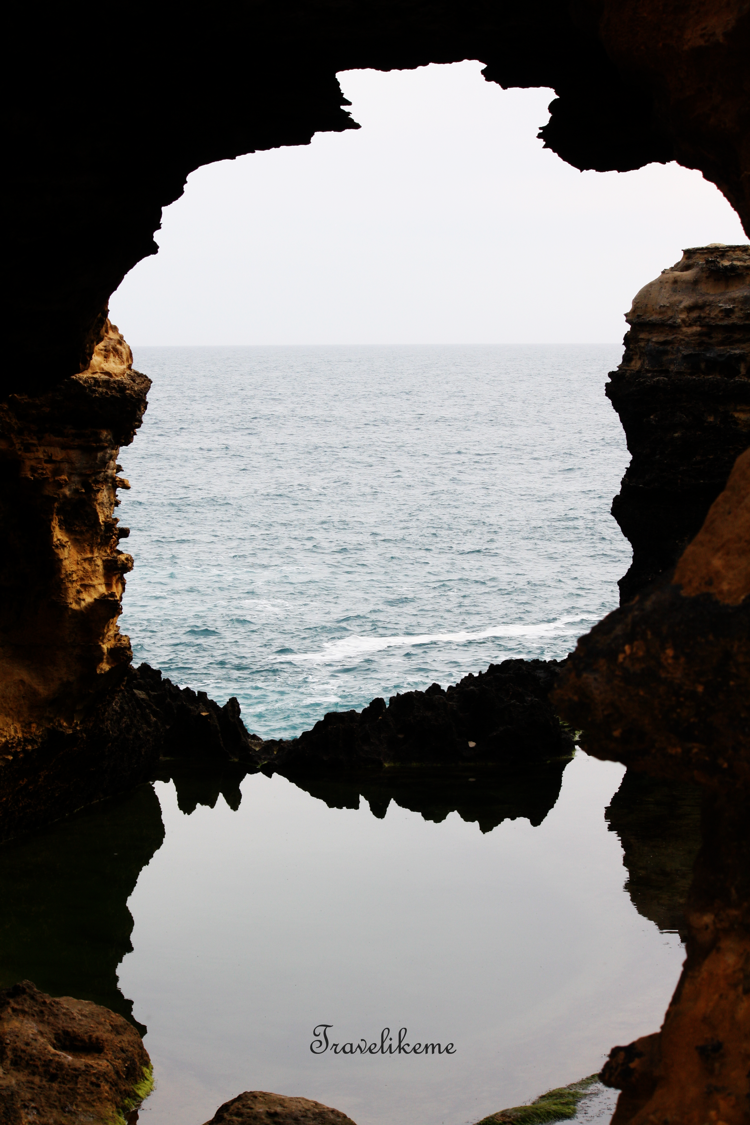
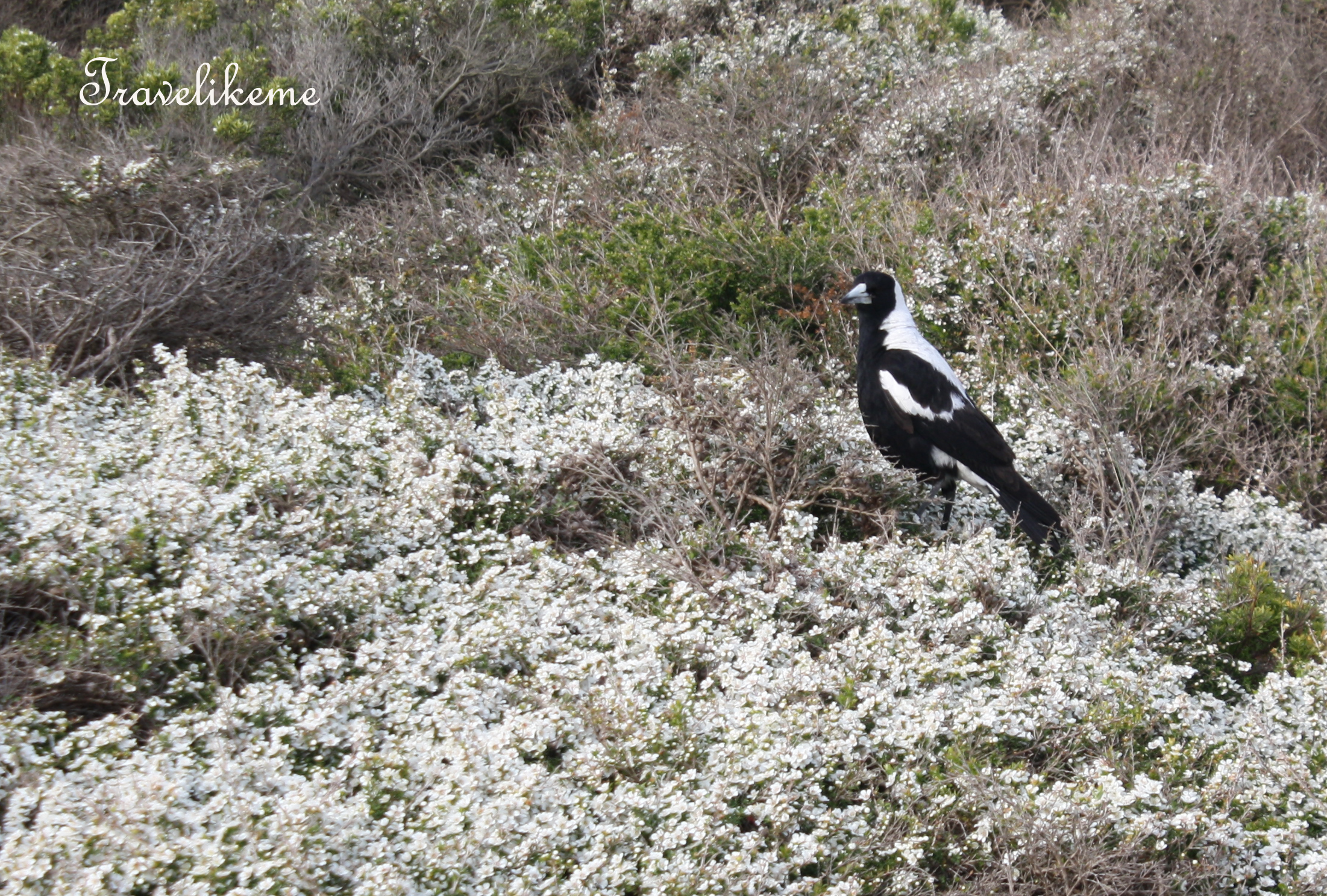
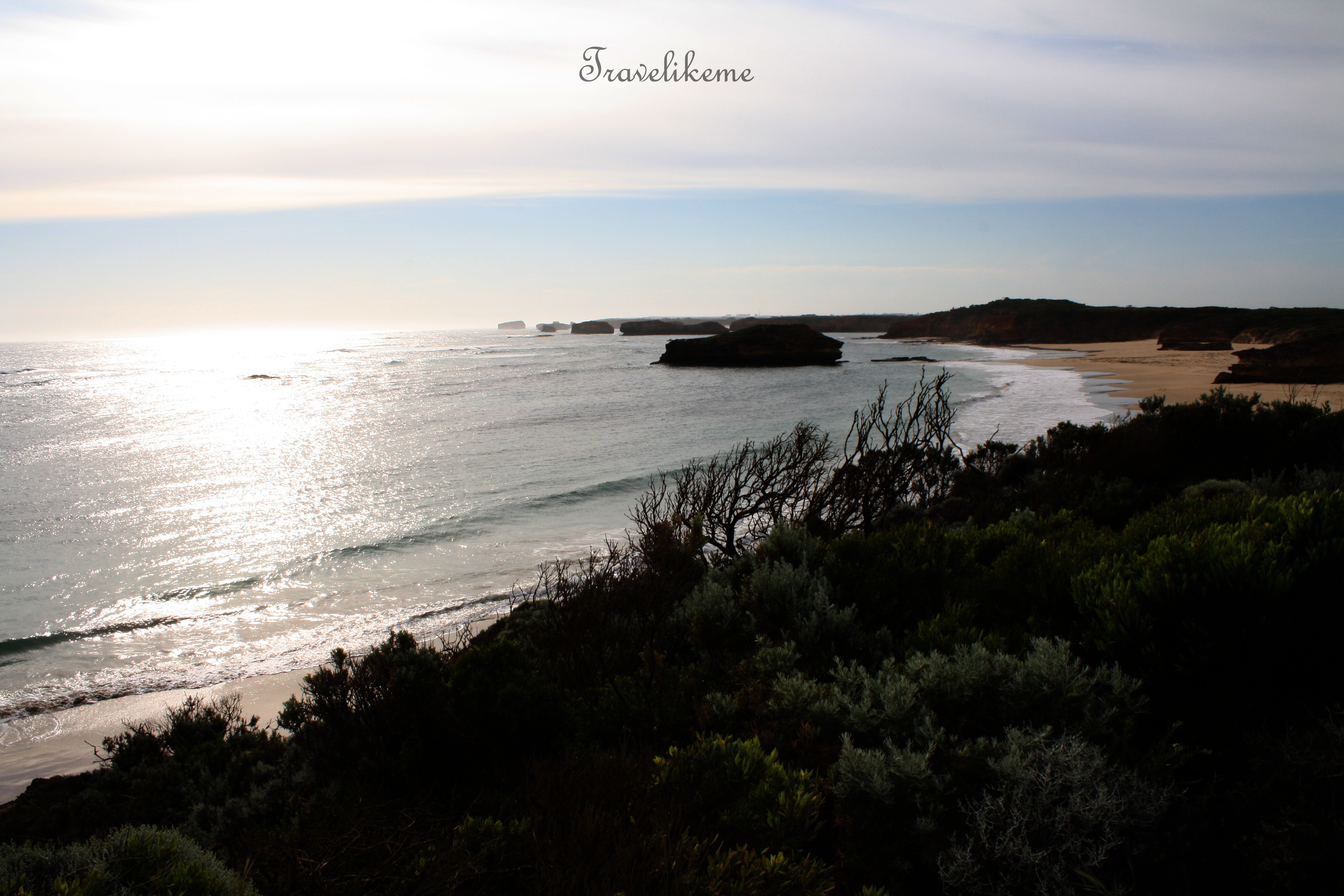
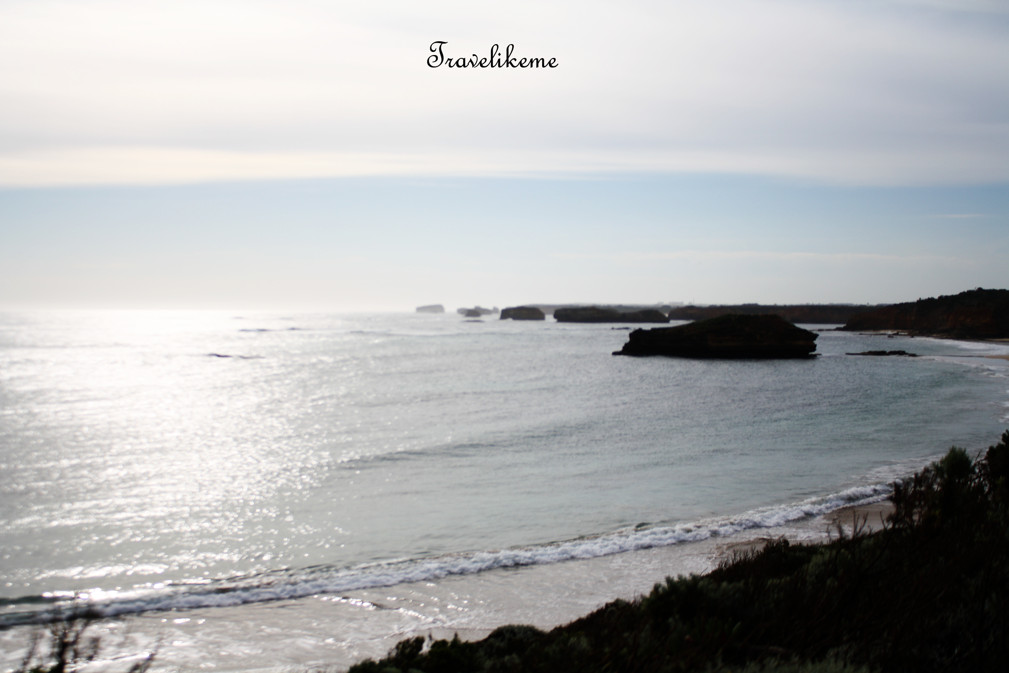
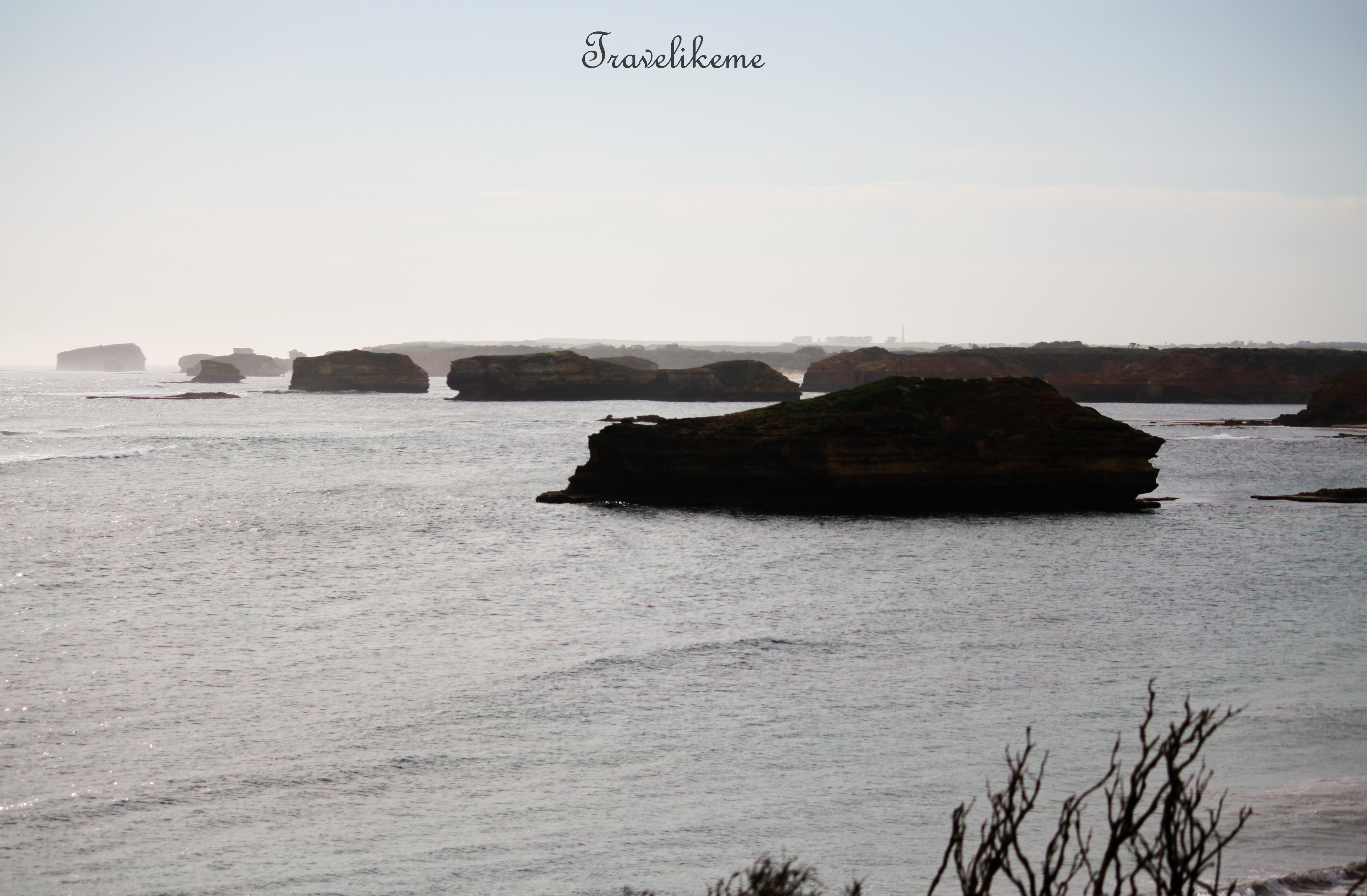
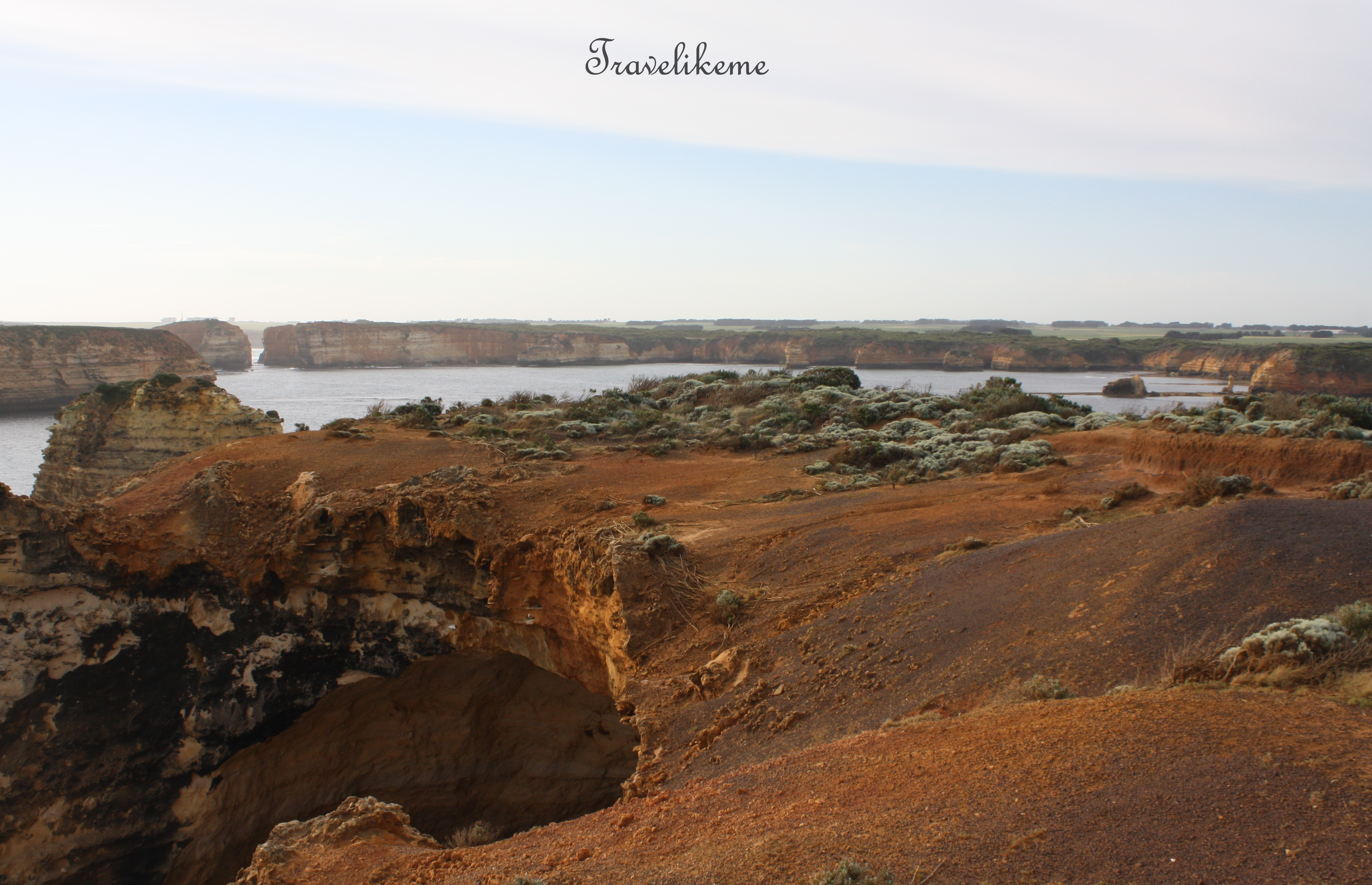
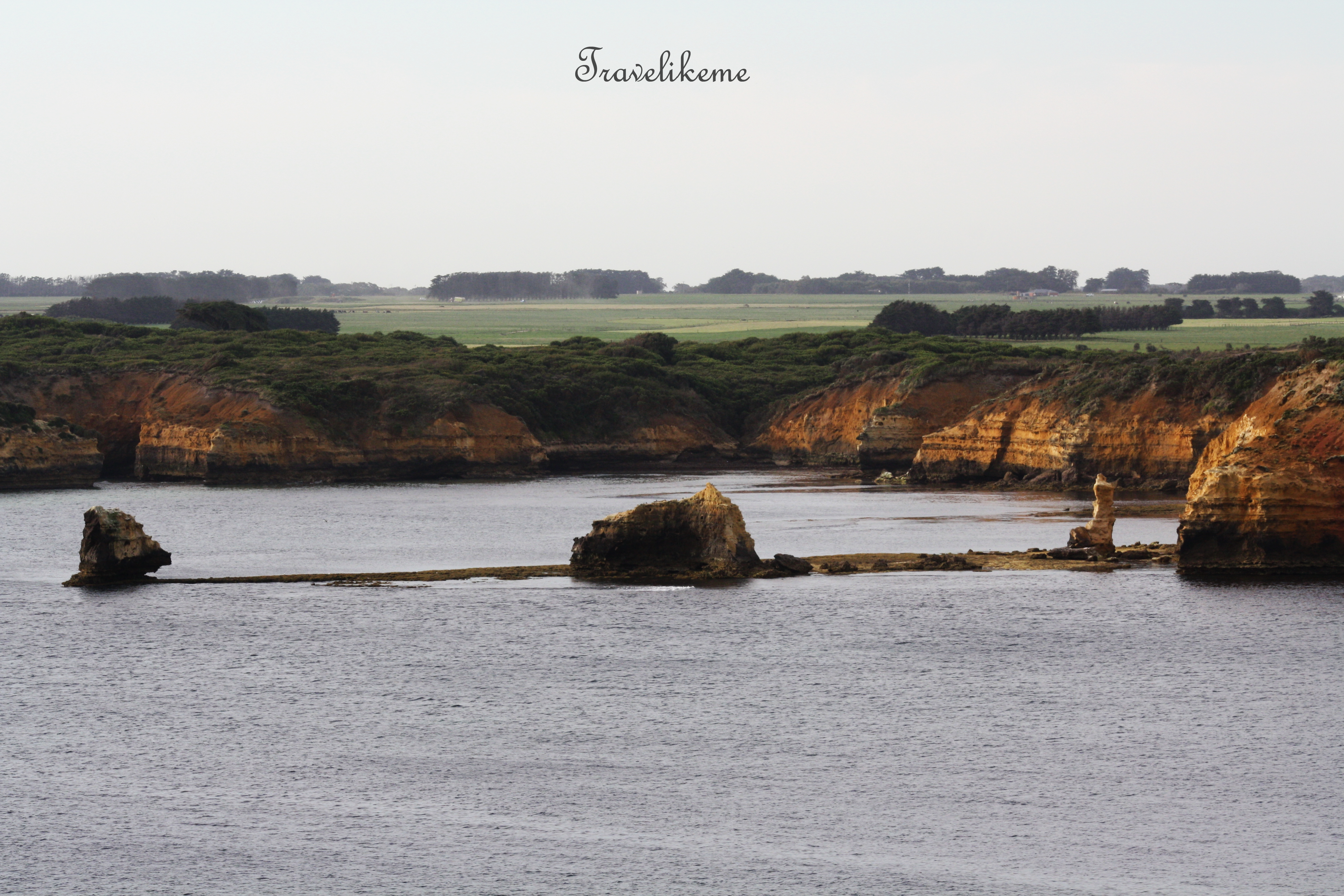
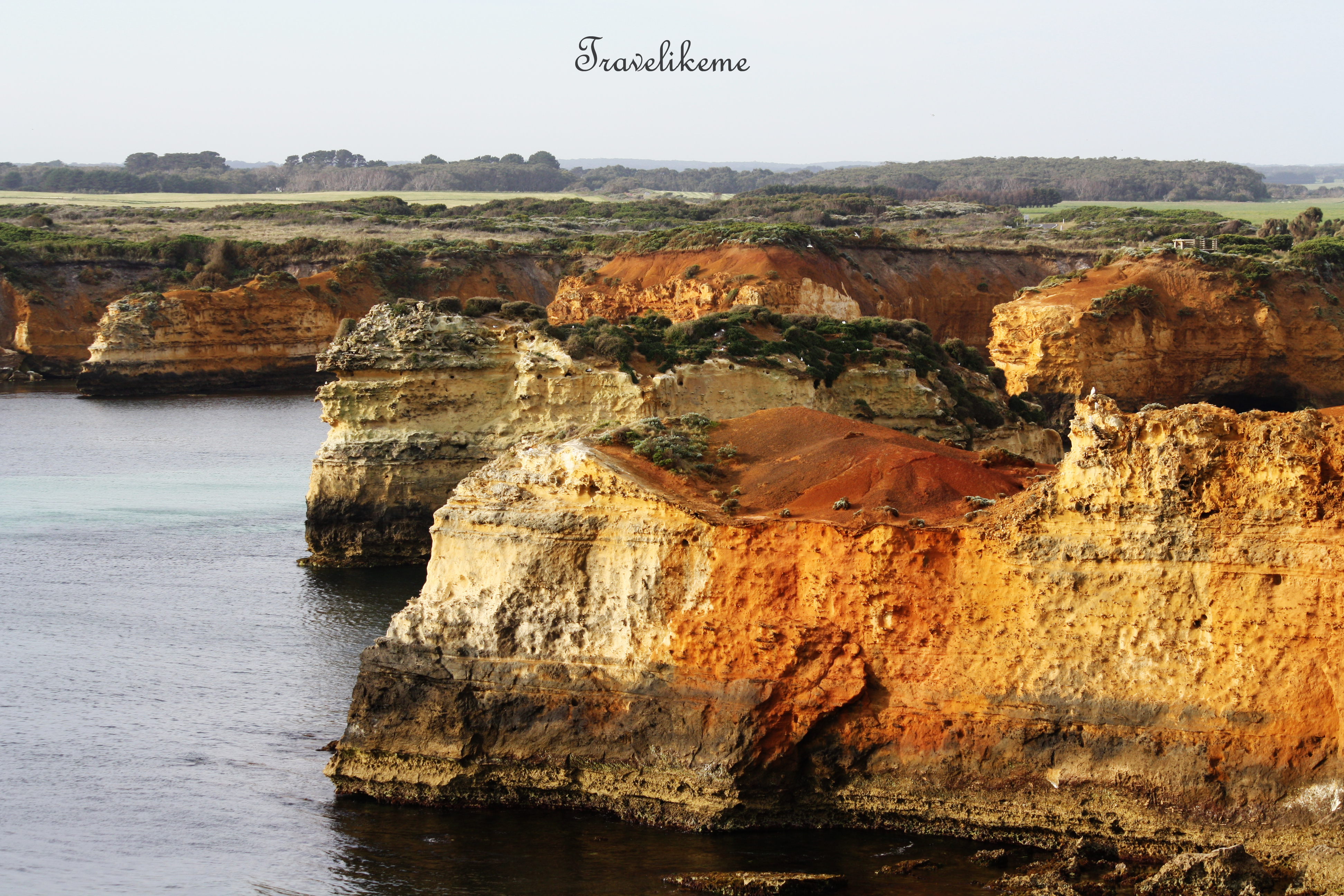
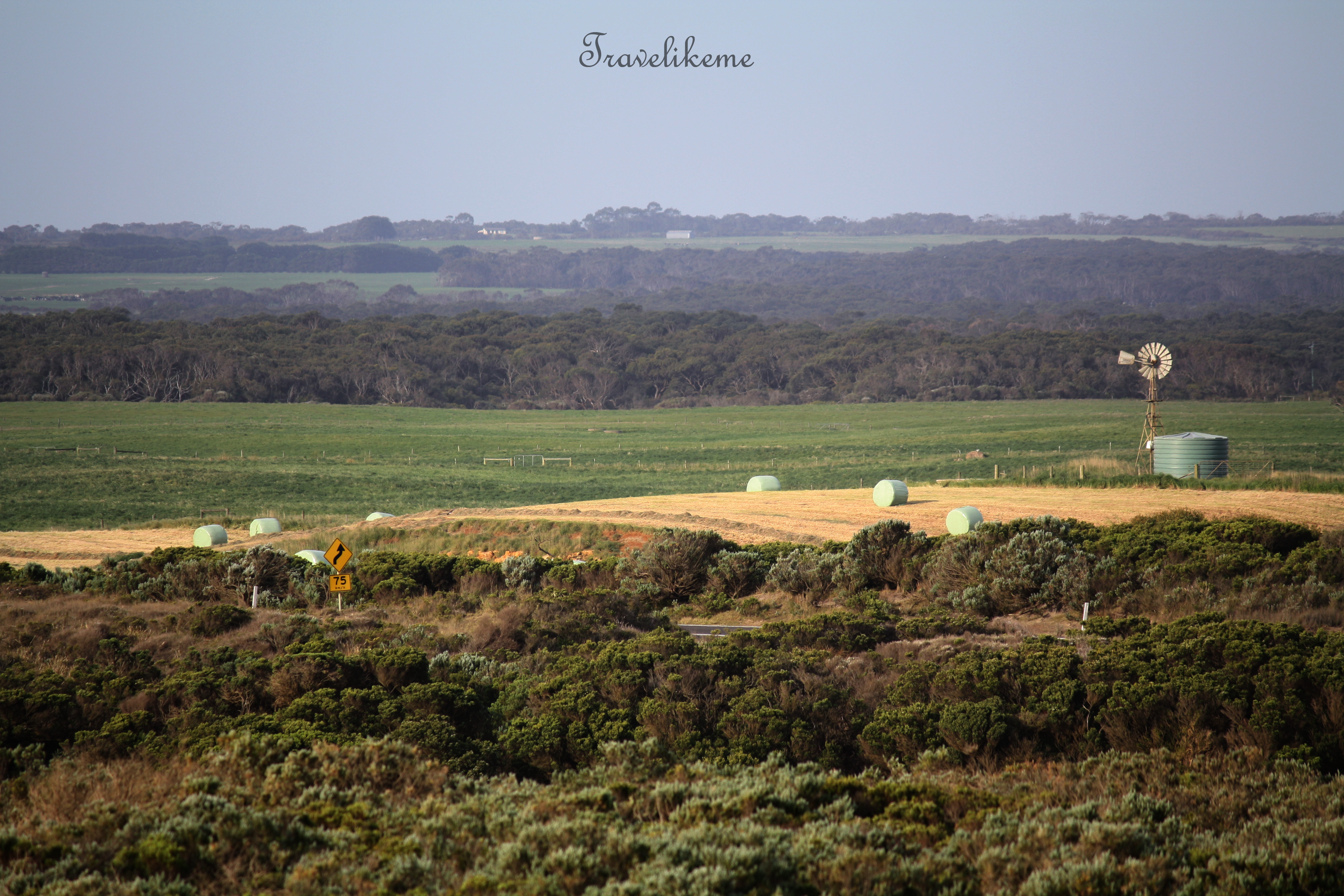
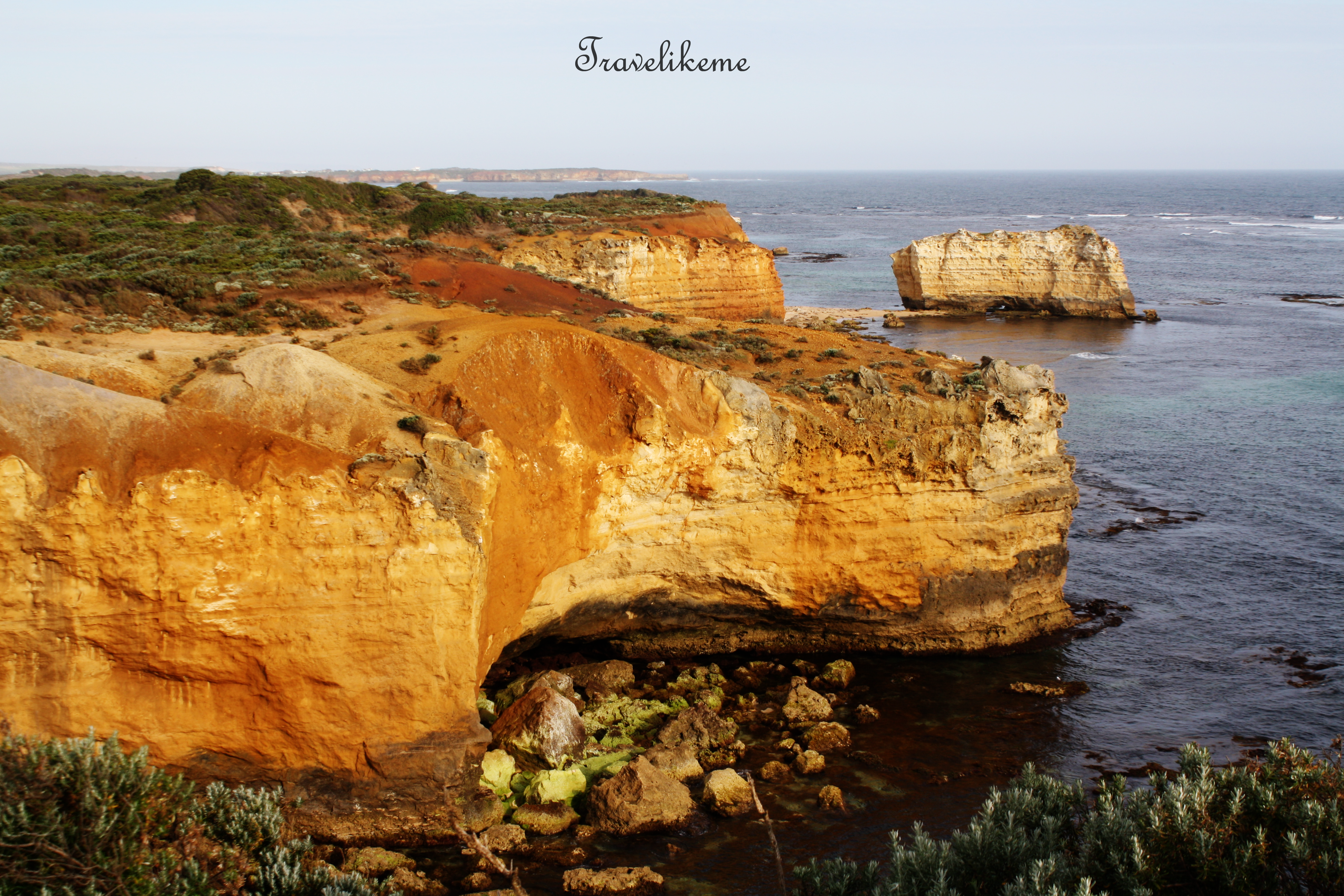
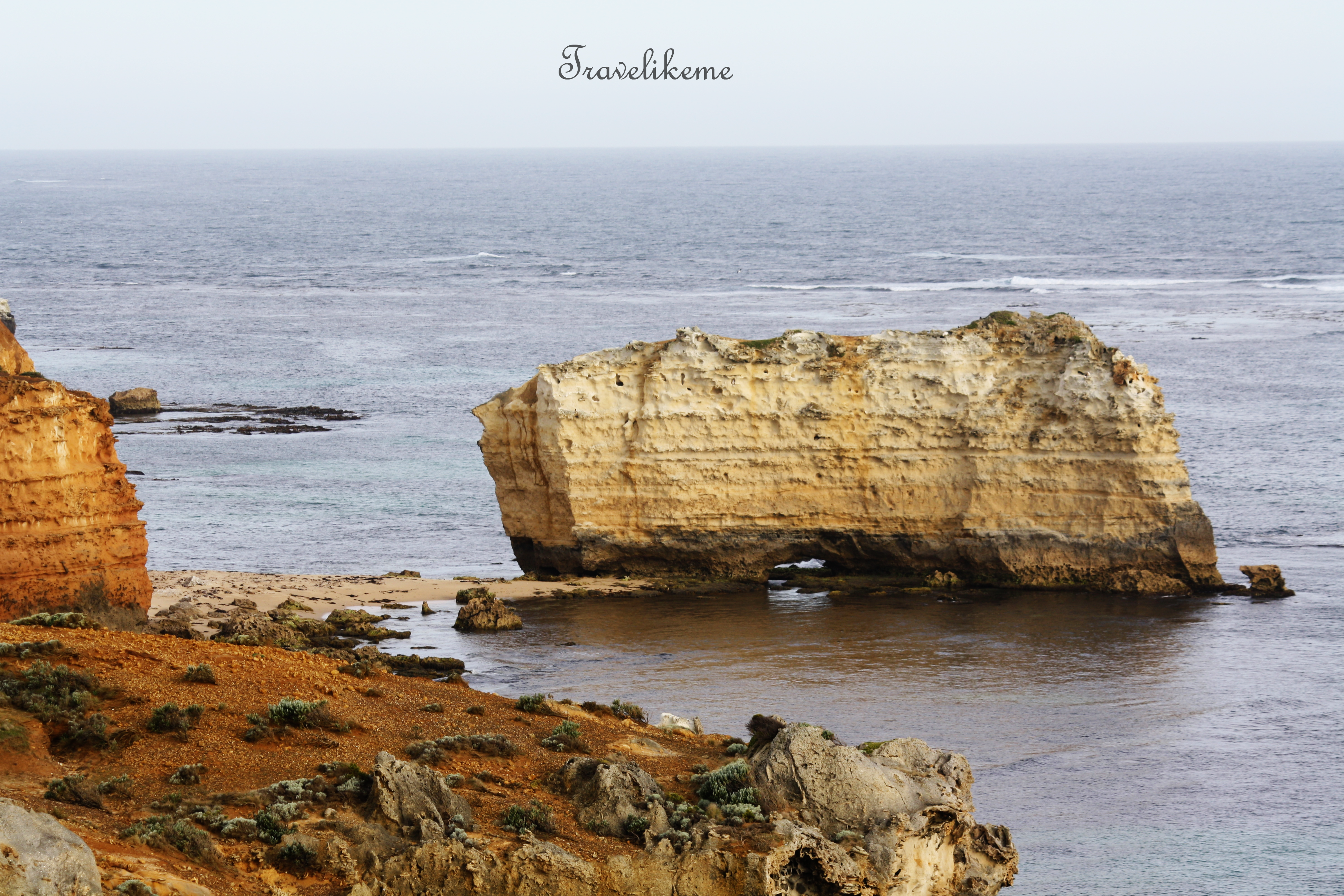
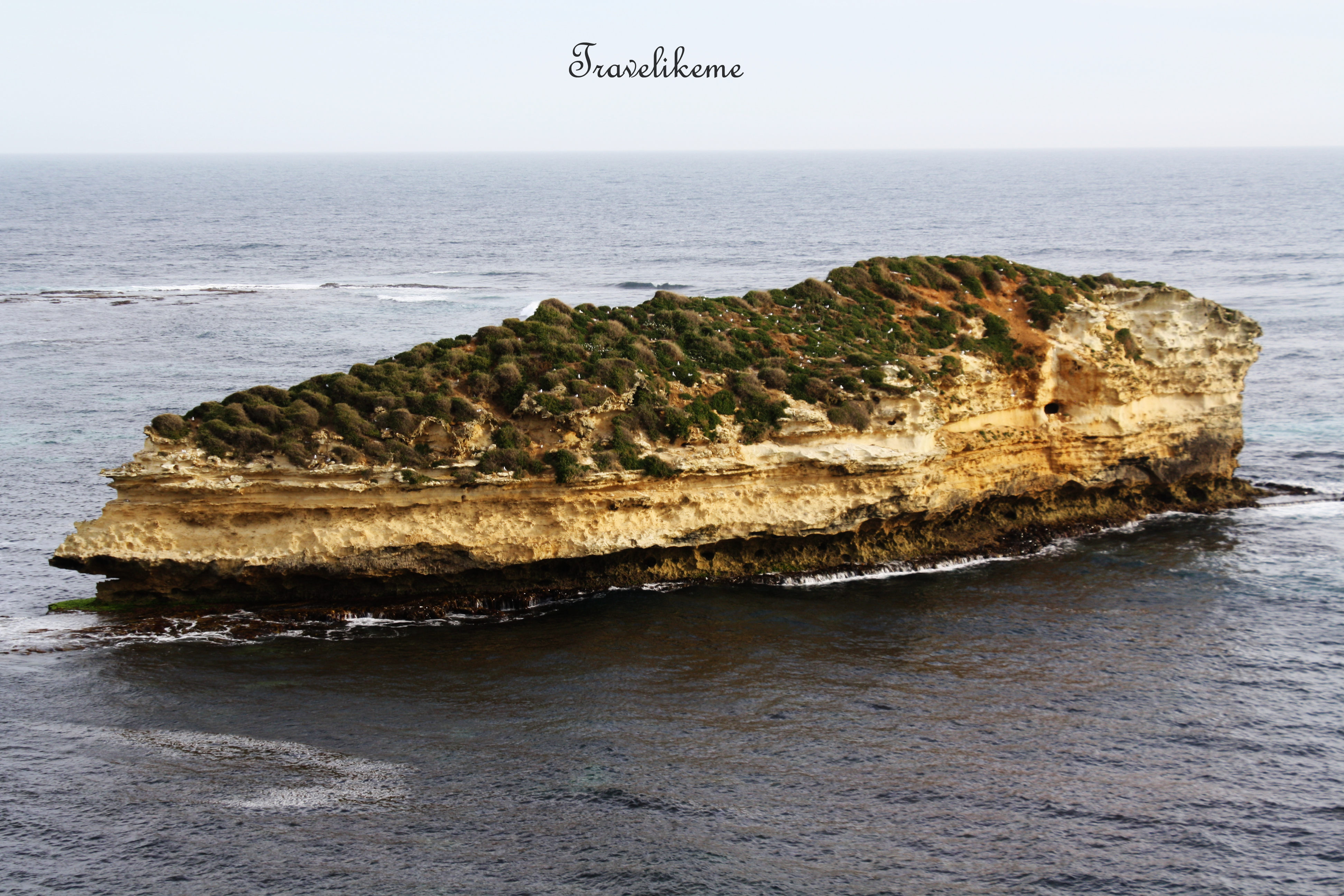
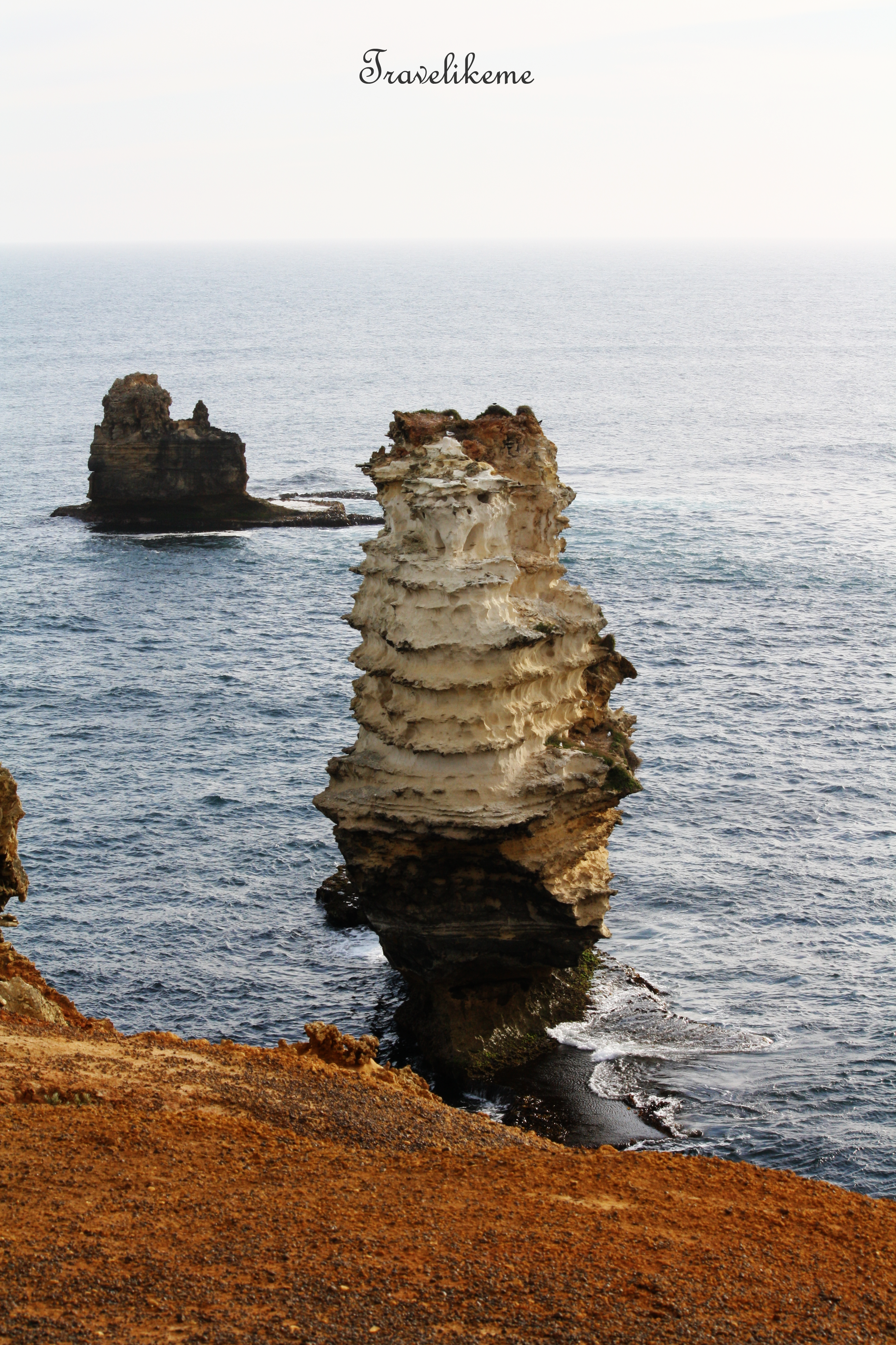
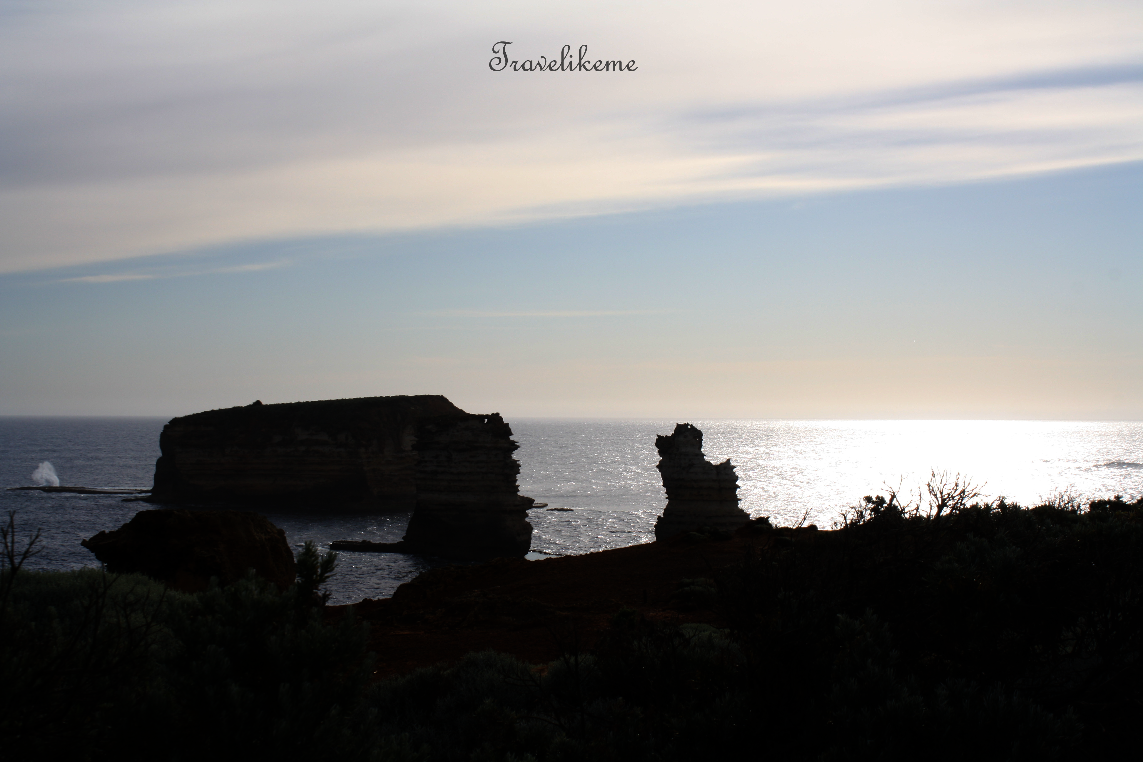
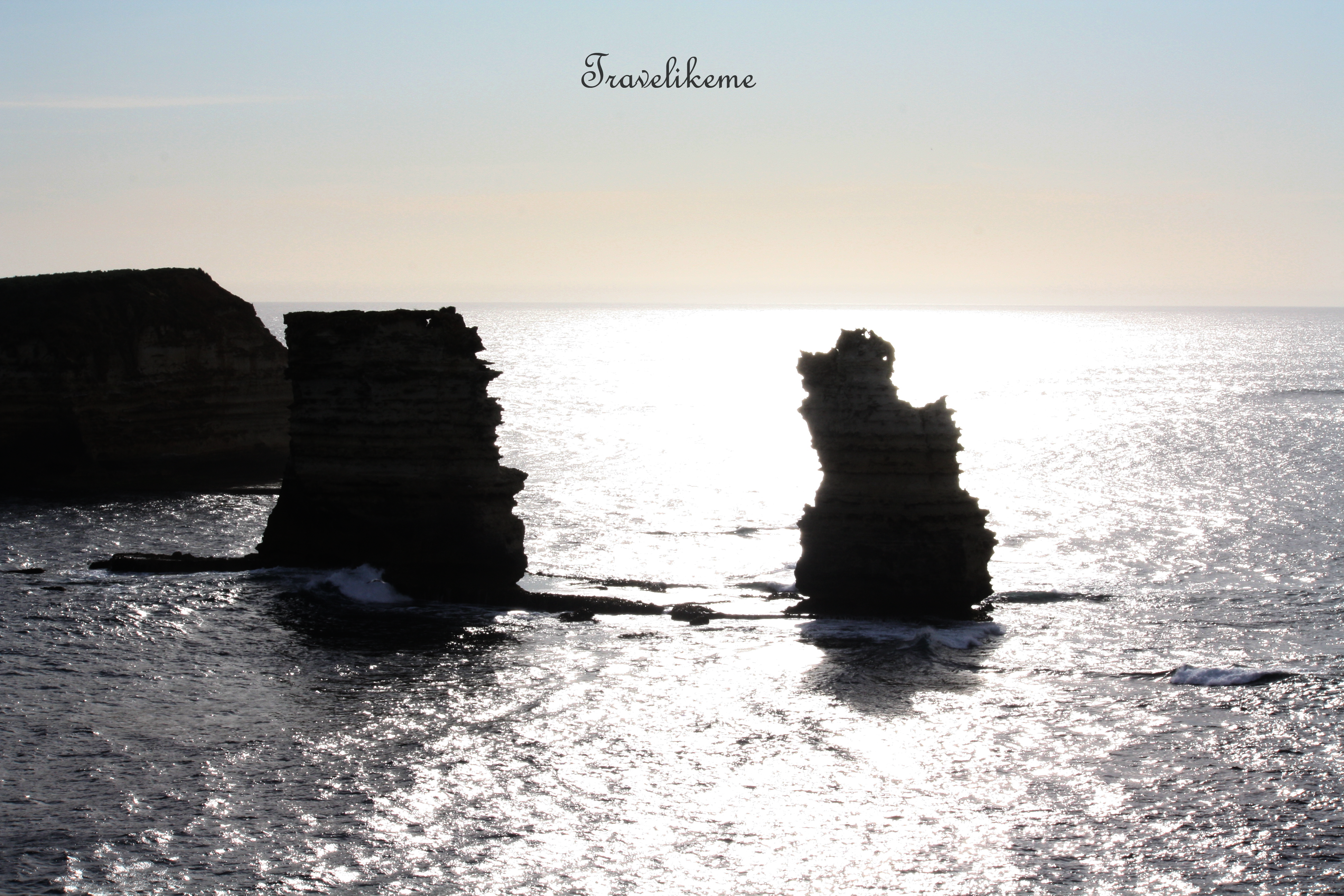
Bells Beach – Torquay is located along Victoria’s Surf Coast Shire some 86km south-west of Melbourne.This is where the international professional surfers converge every Easter for the Rip Curl Pro event.The Anglesea River – Coogoorah Park Reserve covers about 31.6 hectares & is characterized by many islands, some of which are man-made & linked up by tracks & bridges. Vegetation is mainly swamp & riparian with teatree & paperbark shrubland & moist Eucalypt woodlands. The river eventually empties into the Bass Strait.Point Roadknight is a narrow ridge of dune that protrudes 500m to the east parallel to Urquhart Bluff beach thus providing considerable protection from rip currents.Sunnymead Beach seen from Urquhart Bluff on the Victoria Surf Coast. This beautiful & welcoming stretch of sand is over 700m long & is sheltered by Point Roadknight, with waves rarely over 1 m high making it relatively safe for swimming.Mouth Beach at Aireys Inlet separates Painkalac Creek from the Bass Strait.The Big Hill standing at elevation 158m is a tiny coastal township on Surf Coast Shire, Victoria, Australia.Stony Creek near Lorne makes an interesting walk, especially at low tide.At one of Victoria’s premier holiday destinations – Lorne, where this popular beach parallels the Great Ocean Road.Lorne Pier at the Western end of Loutit Bay & is the starting point of the famous annual 1.2km open water swimming race ‘The Pier to Pub’ which happens every January. It began in the 1970’s when members of the Lorne Surf Life Saving Club dared each other to dive from the pier & swim through Loutit Bay, body surfing the waves onto the Lorne foreshore before attending the Lorne Pub.The Great Ocean Road cuts inland for a bit. Lavers Hill is about 48km away from Port Campbell.Some farms at Lavers Hill stretch right to the coast meeting the Bass Strait.Gibson Steps is a staircase that hugs the cliff-side, descending gradually to the beach. Walk about 1km west & you will get a close up view of Gog & Magog.Gog & Magog seen from Port Campbell National ParkThe 12 Apostles – a close up of one of the stacks that collapsed in 2005. These limestone pillars are susceptible to erosion from the pounding waves & may eventually disappear but the eroding cliff face in the existing headlands are expected to form new stacks over time.A different perspective of the 12 Apostles. There are probably about 8 limestone stacks left standing, rising about 45m high.Loch Ard Gorge is part of Port Campbell National Park in Victoria. It is just a couple of minutes drive west of the 12 Apostles.Partial view of Muttonbird IslandLoch Ard Gorge was named after the clipper ship ‘Loch Ard’ which ran aground on Muttonbird Island on 1st Jun 1878 after a 3 month-long journey from England to Melbourne.The jetty at Port Campbell Bay which is an inlet of water surrounded by the Port Campbell National Park. The cray-fishing community & residents at Port Campbell number less than 1000.View of Port Campbell & the foreshore area with a calm, sandy beach area great for swimming. This shot was taken from the Scenic Lookout enroute to Peterborough. This was where I stayed 2 nights at Southern Ocean Villas.The Arch is located 6km west of Port Campbell.This Walkway descends steeply & leads to a vantage point for a better view of The Arch.The Arch – at this point, it is clear why it bears its namesake. This 8m high rock was naturally sculpted by the elements & wave erosion.This stack was formally called the London Bridge because of its double span arches; it is now known as London Arch after the span closer to shore collapsed on 15 Jan 1990.Unspoilt & inaccessible beach near London ArchLondon Arch is a significant tourist attraction. This rock stack stands alone offshore & is a natural arch formed by gradual erosion.Wooden steps descending from the limestone cliff face to The Grotto.The Grotto, found along the Great Ocean Road in Victoria is a depression in the ground caused by the collapse of the surface layer. This geological formation is known as a sinkhole.Looking through the Grotto to the sea beyond & reflections on the pool at low tide.The omnivorous Australian Magpie has long legs & walk comfortably, spending much time on the ground. Spotted this one wandering around the teatree bush probably looking for prey.Described as Australia’s most accomplished songbird, this ubiquitous Magpie has distinctive black & white plumage, gold-brown eyes & a solid wedge-shaped bluish-white & black bill.Bay of Martyrs lies on the outskirts of Peterborough, just off the Great Ocean Road.Bay of Martyrs is an open 2.5km stretch of beach facing numerous reefs & sea stacks. The shoreline is predominantly red limestone bluffs rising some 10m.In the distance from Bay of Martyrs is the Bay of Islands Coastal Park further west on the Great Ocean Road.Boat Bay lies between Apollo Bay & Lavers Hill. There is a boat ramp built here for both motorized & un-motorized vessels to gain access to the Bass Strait.Bay of Islands Coastal Park is a 32km long reserve on the Great Ocean Road between Peterborough & Warrnambool in Victoria.This coastal park has outstanding ocean views & notable geological features.In springtime, the heathlands at the Bay of Islands Coastal Park burst into a colourful wildflowers display.Farmland seen from the Bay of Islands.Sheer cliffs in an eye-catching palette of beige, ochre & brown – Bay of IslandsThere are apparently beaches that are accessible at some points.Farms near PeterboroughSheer red limestone bluff dominate the scene at the Bay of Islands.Bay of Islands – Bass StraitsA stand alone limestone stack that is virtually an ‘island’ teeming with life.A colony of Silver Gulls make their homes here, as their nests are safe from foxes & cats.Interesting rock stacks carved out by nature.Bay of Islands in the cool of the evening.Bay of Islands is worth the visit even if it is just for this stunning, back-lit stack coastline view.
The GOR is found in the Australian National Heritage List & was built as a living memorial to the Victorians who served in WWI (1914-1918). It was completed in 1932 & opened the coastal areas to tourism & development. This road of unrivalled beauty is a lasting tribute in memory of those who served their country in war & the 3000 soldiers who built it under harsh conditions.