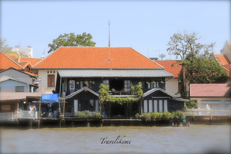
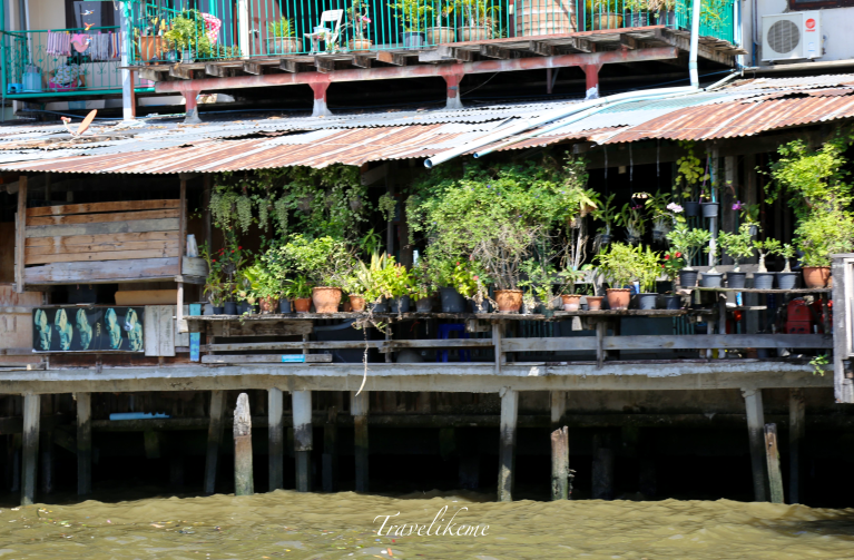
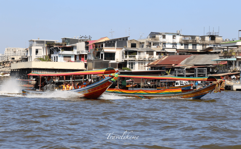
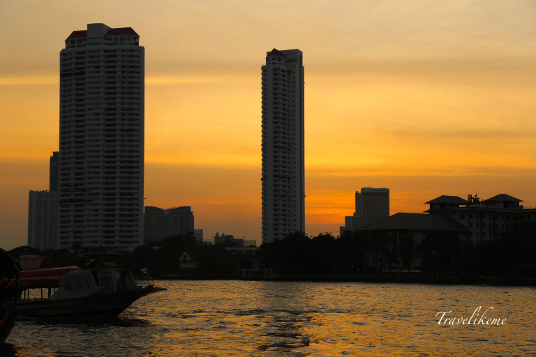
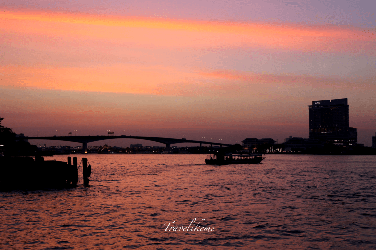
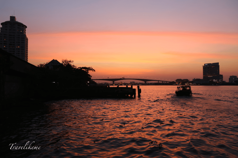
The under belly of King Taksin Bridge from Sathorn Pier where we boarded the Chao Phraya Express Boat to Wat Arun.Enroute to Wat Arun, I spotted this very interesting & inviting riverside home.Some other houses on stilts along the Chao Phraya.Colourful long-tail Boat Taxis plying the Chao Phraya river. Lower Chao Phraya underwent several man-made modifications during the Ayutthaya Period (1351-1767) where shortcut canals were constructed to bypass large loops in the river, thereby shortening the travel time of ships carrying goods from the capital city to the sea.In Bangkok the Chao Phraya river is a major artery for a nework of transportation that includes river buses, cross-river ferries & water taxis or long tails. More than 15 boat lines operate on the rivers & canals of the city & it is definitely one way to beat the horrendous traffic jams on the roads especially during peak hours.Wat Arun, Temple of Dawn is a Buddhist temple sitting on the Thonburi west bank of the Chao Phraya River. An important landmark in Thailand, it is beautiful especially in the mornings when the first light is reflected on the surface of the temple creating a pearly iridescence. This temple was built during the 17th century but the spires were later additions built during the reign of King Rama II in the early 19th century.Sunset over the Chao Phraya River. This river is about 372km long & it starts in the North at Nakhon Sawan Province at the confluence of two rivers the Ping & Nan & flows from the central plains to Bangkok & finally out to the Gulf of Thailand.The Somdet Phra Pin-klao Bridge is just one of the many major bridges that cross the Chao Phraya. Others include the Rama VI railroad bridge, Phra Pin-klao near the Grand Palace, Rama VIII a single tower asymmetrical cable-stayed bridge, Rama IX a semi-symmetrical cable stayed bridge & Mega Bridge on the Industrial Ring Road. Along the Chao Phraya River from the north to the south, cities have sprung up due to their access to the waterway. The many tributaries of the river delta are interconnected by canals that serve irrigation & transportation purposes. A romantic light envelops Bangkok as the evening fades into the night & we anticipate a lovely dining & wining experience at Asiatique Riverfront.
It may come as a surprise to many who have been to Bangkok & crossed the Chao Phraya countless times to be unaware that the river is actually 372km long; that the Chao Phraya Watershed covers an extensive area of 157,924 sq km or about 35% of the country of Thailand & over 280 species of fish live in the waters of the Chao Phraya basin.